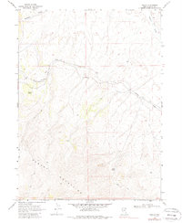
1968 Map of Pequop
USGS Topo · Published 1987About this map
The Southern Pacific railroad line winds through the high desert of Elko County, marking a critical transit point at the small settlement of Pequop. This late-1960s survey illustrates the evolution of mountain passage by showing the modern rail route alongside the Old Southern Pacific Railroad Grade, documenting a significant realignment of the track as it navigates the steep eastern slopes of the Pequop Mountains.
Find a feature on this map
13 named features on this map. Tap any name to fly to it.
Don’t see what you’re looking for? This feature index may not catch every label — zoom into the map to look around manually.
Map Details
Editions of this 1968 Pequop Map
2 editions found
Other maps of this area

1955 · Wells
USGS Topo · 1:250,000

1958 · Wells
USGS Topo · 1:250,000

1961 · Wells
USGS Topo · 1:250,000

1967 · Valley Pass
USGS Topo · 1:24,000

1967 · Ninemile Mtn SW
USGS Topo · 1:24,000

1967 · Cobre
USGS Topo · 1:24,000

1968 · Holborn
USGS Topo · 1:24,000

1968 · Pequop
USGS Topo · 1:24,000
1968 · Pequop Summit SW
USGS Topo · 1:24,000
1968 · Pequop Summit
USGS Topo · 1:24,000