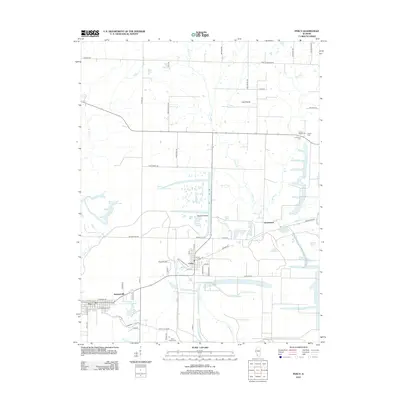
2012 Map of Percy
USGS Topo · Published 2012About this map
Cutler and Percy serve as the primary hubs in this part of Randolph County, where the landscape is defined by the intersection of rural townships and a network of named prairie lands. The map illustrates a transition between agricultural plots and specialized land use, evidenced by Sixmile Prairie and Lost Prairie. Local family and community history is preserved in several burial grounds, including Galum Baptist Cem and Immanuel Cem in the northeast, and Saint Joseph Cem to the south.
Find a feature on this map
65 named features on this map. Tap any name to fly to it.
Don’t see what you’re looking for? This feature index may not catch every label — zoom into the map to look around manually.
Map Details
Editions of this 2012 Percy Map
This is the sole edition of this map. No revisions or reprints were ever made.
Other maps of this area

1910 · Murphysboro
USGS Topo · 1:62,500

1914 · Coulterville
USGS Topo · 1:62,500

1916 · Campbell Hill
USGS Topo · 1:62,500

1917 · Coulterville
USGS Topo · 1:62,500

1918 · Campbell Hill
USGS Topo · 1:62,500

1924 · Pinckneyville
USGS Topo · 1:62,500

1926 · Pinckneyville
USGS Topo · 1:62,500

1938 · Murphysboro
USGS Topo · 1:62,500

1949 · Paducah
USGS Topo · 1:250,000

1950 · Paducah
USGS Topo · 1:250,000