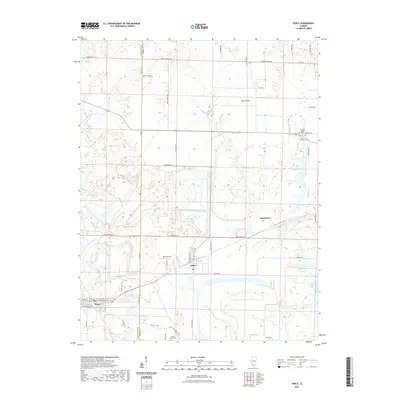
2021 Map of Percy
USGS Topo · Published 2021About this map
The village of Percy and the neighboring community of Cutler anchor this Illinois landscape along the border of Randolph and Perry counties. The terrain is defined by broad natural openings including Lost Prairie and Sixmile Prairie, interspersed with a dense network of country roads named for flora and fauna, such as Babys Breath Rd, Jack Rabbit Rd, and Larkspur Rd.
Find a feature on this map
55 named features on this map. Tap any name to fly to it.
Don’t see what you’re looking for? This feature index may not catch every label — zoom into the map to look around manually.
Map Details
Editions of this 2021 Percy Map
This is the sole edition of this map. No revisions or reprints were ever made.
Other maps of this area

1910 · Murphysboro
USGS Topo · 1:62,500

1914 · Coulterville
USGS Topo · 1:62,500

1916 · Campbell Hill
USGS Topo · 1:62,500

1917 · Coulterville
USGS Topo · 1:62,500

1918 · Campbell Hill
USGS Topo · 1:62,500

1924 · Pinckneyville
USGS Topo · 1:62,500

1926 · Pinckneyville
USGS Topo · 1:62,500

1938 · Murphysboro
USGS Topo · 1:62,500

1949 · Paducah
USGS Topo · 1:250,000

1950 · Paducah
USGS Topo · 1:250,000