
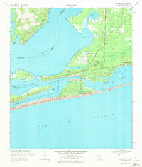
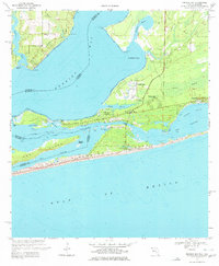
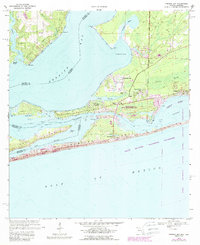
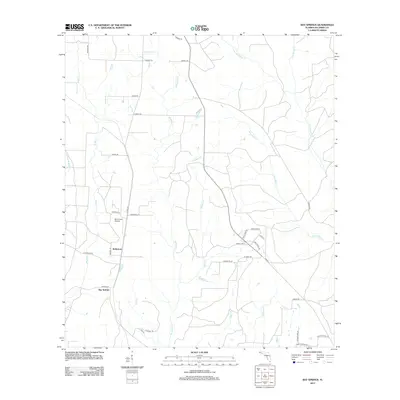
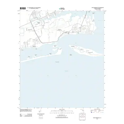
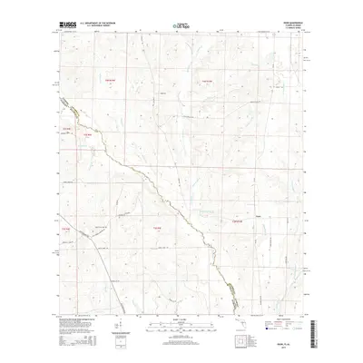
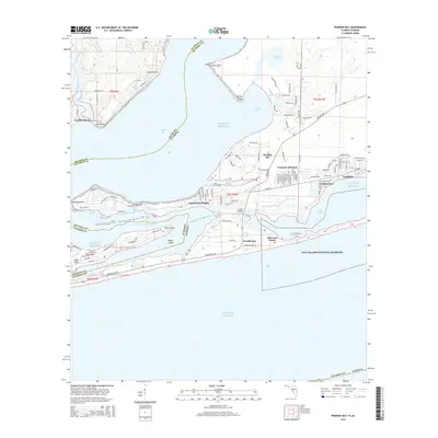
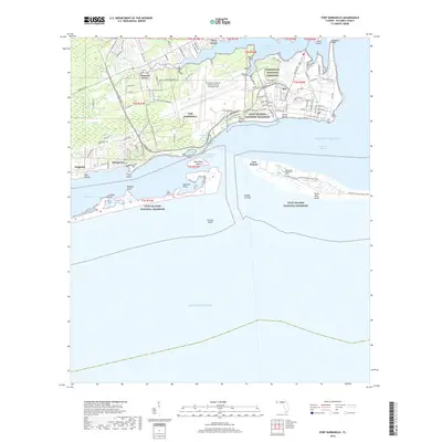
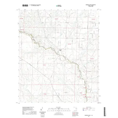
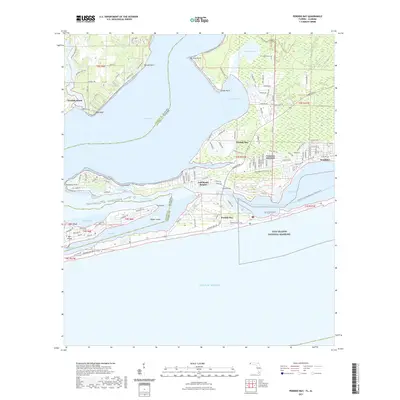
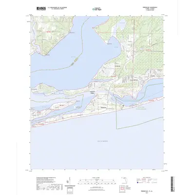
1970 Map of Perdido Bay
USGS Topo · Published 1993About this map
Perdido Bay defines the coastal boundary between Florida and Alabama in this early 1970s record, capturing a landscape of narrow barrier islands and intricate bayous before extensive modern development. The map details the residential growth at Gulf Beach Heights and Seaglades, contrasted with the protected marshlands and dunes of the Gulf Islands National Seashore. The complex maritime geography is evident in the dredging of the Intracoastal Waterway, which cuts through the lagoon systems behind Perdido Key.
Find a feature on this map
46 named features on this map. Tap any name to fly to it.
Don’t see what you’re looking for? This feature index may not catch every label — zoom into the map to look around manually.
Map Details
Editions of this 1970 Perdido Bay Map
4 editions found
Historical Maps of Perdido Beach Through Time
77 maps found

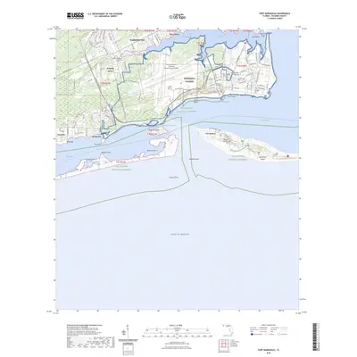
1941 Fort Barrancas
Escambia County, FL

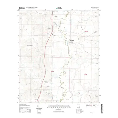
1941 Muscogee
Escambia County, FL

1943 Fort Barrancas
Escambia County, FL

1943 Muscogee
Escambia County, FL

1944 Fort Barrancas
Escambia County, FL

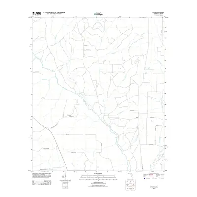
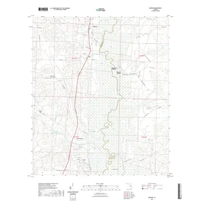
1944 Perdido Bay North
Escambia County, FL

1944 Perdido Bay South
Escambia County, FL

1970 Fort Barrancas
Escambia County, FL
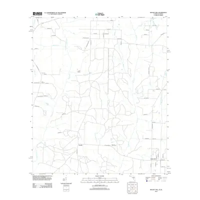
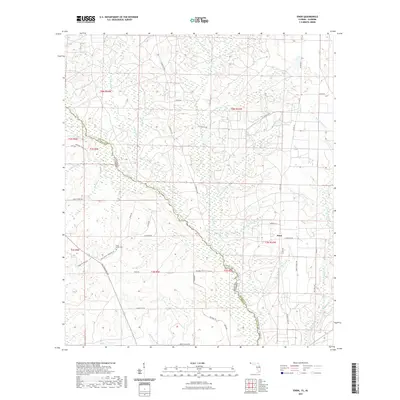
1970 Perdido Bay
Escambia County, FL

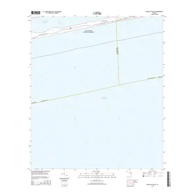
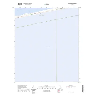
1970 South of Holley
Escambia County, FL

1978 Barrineau Park
Escambia County, FL

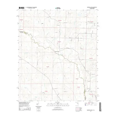
1978 Bay Springs
Escambia County, FL

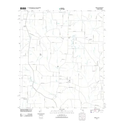
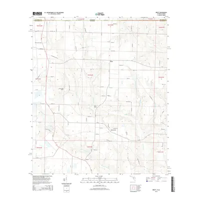
1978 Bratt
Escambia County, FL

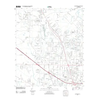
1978 Cantonment
Escambia County, FL

1978 Enon
Escambia County, FL

1978 McDavid
Escambia County, FL

1978 Walnut Hill
Escambia County, FL

1994 Barrineau Park
Escambia County, FL

1994 Bay Springs
Escambia County, FL

1994 Cantonment
Escambia County, FL

1994 Enon
Escambia County, FL

1994 Fort Barrancas
Escambia County, FL

1994 McDavid
Escambia County, FL

1994 Perdido Bay
Escambia County, FL
2012 Barrineau Park
Escambia County, FL
2012 Bay Springs
Escambia County, FL
2012 Bratt
Escambia County, FL
2012 Cantonment
Escambia County, FL
2012 Enon
Escambia County, FL
2012 Fort Barrancas
Escambia County, FL
2012 McDavid
Escambia County, FL
2012 Perdido Bay
Escambia County, FL
2012 South of Holley
Escambia County, FL
2012 Walnut Hill
Escambia County, FL
2015 Barrineau Park
Escambia County, FL
2015 Bay Springs
Escambia County, FL
2015 Bratt
Escambia County, FL
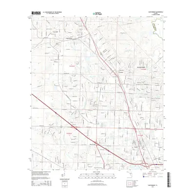
2015 Cantonment
Escambia County, FL
2015 Enon
Escambia County, FL
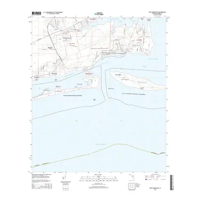
2015 Fort Barrancas
Escambia County, FL
2015 McDavid
Escambia County, FL
2015 Perdido Bay
Escambia County, FL
2015 South of Holley
Escambia County, FL
2015 Walnut Hill
Escambia County, FL
2018 Barrineau Park
Escambia County, FL
2018 Bay Springs
Escambia County, FL
2018 Bratt
Escambia County, FL
2018 Cantonment
Escambia County, FL
2018 Enon
Escambia County, FL
2018 Fort Barrancas
Escambia County, FL
2018 McDavid
Escambia County, FL

2018 Perdido Bay
Escambia County, FL
2018 South of Holley
Escambia County, FL
2018 Walnut Hill
Escambia County, FL
2021 Barrineau Park
Escambia County, FL
2021 Bay Springs
Escambia County, FL
2021 Bratt
Escambia County, FL
2021 Cantonment
Escambia County, FL
2021 Enon
Escambia County, FL

2021 Fort Barrancas
Escambia County, FL
2021 McDavid
Escambia County, FL
2021 Perdido Bay
Escambia County, FL
2021 South of Holley
Escambia County, FL
2021 Walnut Hill
Escambia County, FL

2024 Barrineau Park
Escambia County, FL

2024 Bay Springs
Escambia County, FL

2024 Bratt
Escambia County, FL

2024 Cantonment
Escambia County, FL

2024 Enon
Escambia County, FL
2024 Fort Barrancas
Escambia County, FL

2024 McDavid
Escambia County, FL
2024 Perdido Bay
Escambia County, FL
2024 South of Holley
Escambia County, FL

2024 Walnut Hill
Escambia County, FL

2025 Fort Barrancas
Escambia County, FL

2025 Perdido Bay
Escambia County, FL

2025 South of Holley
Escambia County, FL
Featured Locations
- Perdido Beach, AL
- Chanticleer, FL
- Gulf Beach Heights, FL
- Treasure Hill Park, FL
- Perdido Bay Country Club Estates, FL