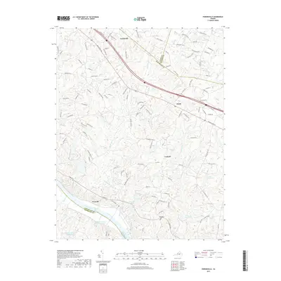
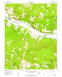
2019 Map of Perkinsville
USGS Topo · Published 2019About this map
The James River forms the southern boundary of this Piedmont landscape, defining a corridor of historic settlements and agrarian land south of the Louisa and Hanover County lines. Centered on the crossroads of Perkinsville and Oilville, the area is characterized by a dense network of tributaries including Beaverdam Creek and Horsepen Creek that carve through the Goochland County countryside.
Find a feature on this map
116 named features on this map. Tap any name to fly to it.
Don’t see what you’re looking for? This feature index may not catch every label — zoom into the map to look around manually.
Map Details
Editions of this 2019 Perkinsville Map
This is the sole edition of this map. No revisions or reprints were ever made.
Other maps of this area

1890 · Goochland
USGS Topo · 1:125,000

1892 · Goochland
USGS Topo · 1:125,000
1943 · Goochland
USGS Topo · 1:31,680
1943 · Mabelton
USGS Topo · 1:31,680
1943 · Fine Creek Mills
USGS Topo · 1:31,680
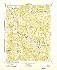
1943 · Powhatan
USGS Topo · 1:31,680
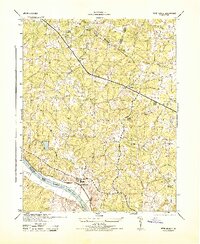
1943 · Perkinsville
USGS Topo · 1:31,680
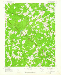
1943 · South Anna
USGS Topo · 1:24,000
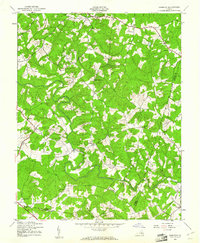
1943 · Dabneys
USGS Topo · 1:24,000
1943 · Midlothian
USGS Topo · 1:24,000