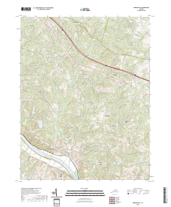
2022 Map of Perkinsville
USGS Topo · Published 2022About this map
The James River forms the southern boundary of this Piedmont landscape, defining a region where rural crossroads and historical transportation corridors converge. The terrain is marked by a network of drainage systems like Beaverdam Cr and Genito Cr, which feed into the river valley. Prominent settlements such as Oilville and Perkinsville anchor the northern reaches, while the southern edge is dominated by the institutional grounds of the Virginia State Farm Pond Number One and Virginia State Farm Pond Number Three.
Find a feature on this map
119 named features on this map. Tap any name to fly to it.
Don’t see what you’re looking for? This feature index may not catch every label — zoom into the map to look around manually.
Map Details
Editions of this 2022 Perkinsville Map
This is the sole edition of this map. No revisions or reprints were ever made.
Other maps of this area

1890 · Goochland
USGS Topo · 1:125,000

1892 · Goochland
USGS Topo · 1:125,000

1943 · Goochland
USGS Topo · 1:31,680

1943 · Mabelton
USGS Topo · 1:31,680

1943 · Fine Creek Mills
USGS Topo · 1:31,680

1943 · Powhatan
USGS Topo · 1:31,680

1943 · Perkinsville
USGS Topo · 1:31,680

1943 · South Anna
USGS Topo · 1:24,000
1943 · Dabneys
USGS Topo · 1:24,000

1943 · Midlothian
USGS Topo · 1:24,000