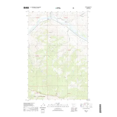
2020 Map of Perma
USGS Topo · Published 2020About this map
Perma sits along the northern banks of the Flathead River, serving as a central point in this mountain landscape where the river snakes between steep ridges. The terrain is defined by dramatic elevation changes, rising from the river valley up to Perma Point and further south to the high peaks of the Lolo National Forest, including Three Lakes Peak and Burnt Fork Pinnacle. A network of drainages such as Vanderburg Cr, Seepay Cr, and Magpie Spring Cr carve through the slopes, illustrating the complex hydrology that feeds into the main river channel.
Find a feature on this map
25 named features on this map. Tap any name to fly to it.
Don’t see what you’re looking for? This feature index may not catch every label — zoom into the map to look around manually.
Map Details
Editions of this 2020 Perma Map
This is the sole edition of this map. No revisions or reprints were ever made.
Other maps of this area
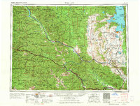
1956 · Wallace
USGS Topo · 1:250,000
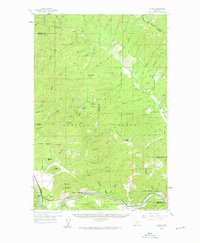
1959 · Tarkio
USGS Topo · 1:62,500
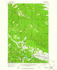
1959 · Alberton
USGS Topo · 1:62,500
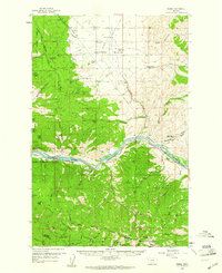
1959 · Perma
USGS Topo · 1:62,500
1960 · Wallace
USGS Topo · 1:250,000
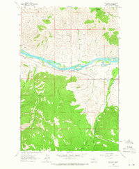
1964 · Mc Donald
USGS Topo · 1:24,000
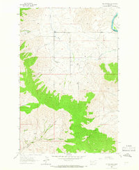
1964 · Melton Ranch
USGS Topo · 1:24,000
1983 · Horsehead Peak
USGS Topo · 1:24,000
1984 · Stark North
USGS Topo · 1:24,000
1984 · Mc Cormick Peak
USGS Topo · 1:24,000