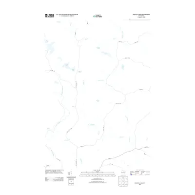
2013 Map of Perote Lake
USGS Topo · Published 2013About this map
The West Branch Wolf River and its various tributaries, including Elton Cr and Squaw Cr, define this glacial landscape in Langlade County. The terrain is characterized by a dense concentration of kettle lakes and wetlands, featuring prominent water bodies such as Perote Lake, LaVerne Lake, and Teabeau Lake. The presence of the Dutchman Lookout Tower in the southwest corner suggests a landscape managed for fire protection and timber, while the network of logging and local roads like Bass Lake-Neopit Rd and McCall Lake Rd provides access to these water resources. This 2013 survey serves as a detailed record of the region's hydrography and forest infrastructure, preserving the names of smaller features like Brigham Lake and Frechette Lake that are central to local geography.
Find a feature on this map
32 named features on this map. Tap any name to fly to it.
Don’t see what you’re looking for? This feature index may not catch every label — zoom into the map to look around manually.
Map Details
Editions of this 2013 Perote Lake Map
This is the sole edition of this map. No revisions or reprints were ever made.
Other maps of this area

1952 · White Lake
USGS Topo · 1:48,000

1952 · Langlade
USGS Topo · 1:48,000

1954 · Gresham
USGS Topo · 1:48,000

1954 · Shawano
USGS Topo · 1:48,000

1954 · Iron Mountain
USGS Topo · 1:250,000

1955 · Green Bay
USGS Topo · 1:250,000

1959 · Iron Mountain
USGS Topo · 1:250,000

1964 · Shawano
USGS Topo · 1:62,500

1964 · Gresham
USGS Topo · 1:62,500
1973 · Langlade
USGS Topo · 1:24,000