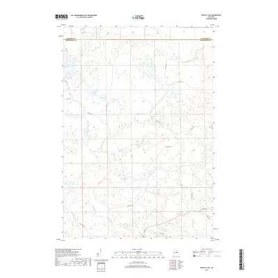
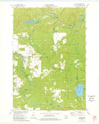
2018 Map of Perote Lake
USGS Topo · Published 2018About this map
The West Branch Wolf River and its numerous tributaries dominate this northern Wisconsin landscape along the boundary of Langlade and Menominee counties. This area is characterized by a dense concentration of small water bodies and wetlands, including Teabeau Lake, Frechette Lake, and LaVerne Lake. The drainage network is particularly complex here, with Squaw Cr and Tourillotte Cr feeding the larger river systems.
Find a feature on this map
31 named features on this map. Tap any name to fly to it.
Don’t see what you’re looking for? This feature index may not catch every label — zoom into the map to look around manually.
Map Details
Editions of this 2018 Perote Lake Map
This is the sole edition of this map. No revisions or reprints were ever made.
Other maps of this area
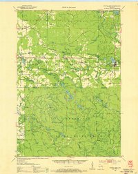
1952 · White Lake
USGS Topo · 1:48,000
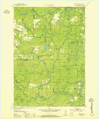
1952 · Langlade
USGS Topo · 1:48,000
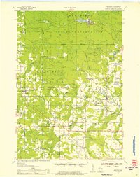
1954 · Gresham
USGS Topo · 1:48,000
1954 · Shawano
USGS Topo · 1:48,000

1954 · Iron Mountain
USGS Topo · 1:250,000

1955 · Green Bay
USGS Topo · 1:250,000
1959 · Iron Mountain
USGS Topo · 1:250,000
1964 · Shawano
USGS Topo · 1:62,500
1964 · Gresham
USGS Topo · 1:62,500
1973 · Langlade
USGS Topo · 1:24,000