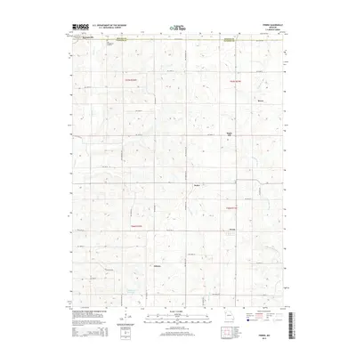
2015 Map of Perrin
USGS Topo · Published 2015About this map
The boundary between DeKalb Co and Clinton Co divides this rural landscape, which is defined by a series of small, dispersed settlements and a well-developed grid of country roads. Near the northern margin, Stewartsville serves as a primary anchor, while the local history of the region is grounded in sites like the Old Presbyterian Cemetery. Moving south, the terrain is dotted with quiet locales such as Moors, Maple Hill, and Braley, each situated within a network of named routes including NW Platte Rd and NW 336th St.
Find a feature on this map
33 named features on this map. Tap any name to fly to it.
Don’t see what you’re looking for? This feature index may not catch every label — zoom into the map to look around manually.
Map Details
Editions of this 2015 Perrin Map
This is the sole edition of this map. No revisions or reprints were ever made.
Other maps of this area

1923 · Clarksdale
USGS Topo · 1:62,500

1923 · Maysville
USGS Topo · 1:62,500

1925 · Gower
USGS Topo · 1:62,500

1925 · Clarksdale
USGS Topo · 1:62,500

1925 · Plattsburg
USGS Topo · 1:62,500

1925 · Maysville
USGS Topo · 1:62,500

1950 · Kansas City
USGS Topo · 1:250,000
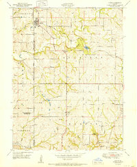
1951 · Gower
USGS Topo · 1:24,000

1954 · Kansas City
USGS Topo · 1:250,000

1956 · Kansas City
USGS Topo · 1:250,000