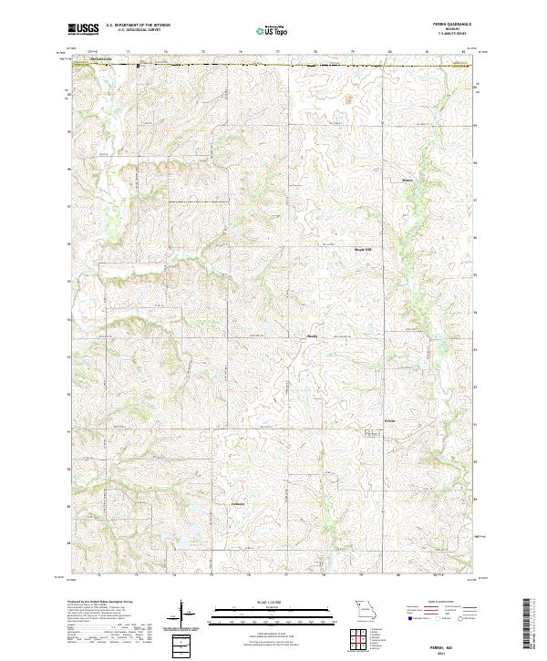
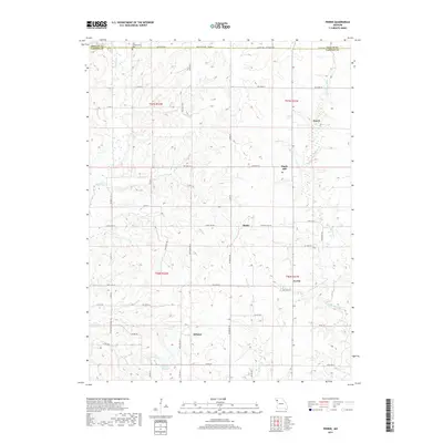
2021 Map of Perrin
USGS Topo · Published 2021About this map
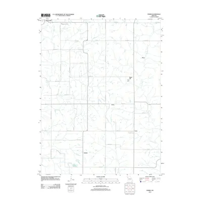
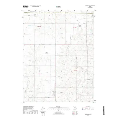
Stewartsville and Perrin anchor this portrait of Clinton and DeKalb counties, where a dense network of county roads follows the grid of the Public Land Survey System. The landscape is defined by the winding course of the Little Platte River in the east and Castile Cr to the west, with smaller tributaries like Horse Fork carving into the upland terrain.
Find a feature on this map
50 named features on this map. Tap any name to fly to it.
Don’t see what you’re looking for? This feature index may not catch every label — zoom into the map to look around manually.
Map Details
Editions of this 2021 Perrin Map
This is the sole edition of this map. No revisions or reprints were ever made.
Historical Maps of Stewartsville Through Time
15 maps found
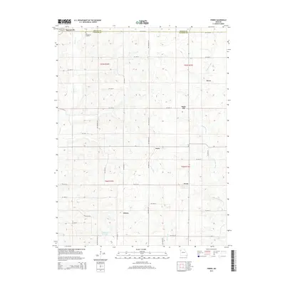
1971 Hemple
Clinton County, MO
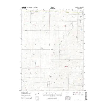
1984 Cameron West
Clinton County, MO
1984 Perrin
Clinton County, MO
2012 Cameron West
Clinton County, MO
2012 Hemple
Clinton County, MO
2012 Perrin
Clinton County, MO
2014 Hemple
Clinton County, MO
2015 Cameron West
Clinton County, MO
2015 Perrin
Clinton County, MO
2017 Cameron West
Clinton County, MO
2017 Hemple
Clinton County, MO
2017 Perrin
Clinton County, MO
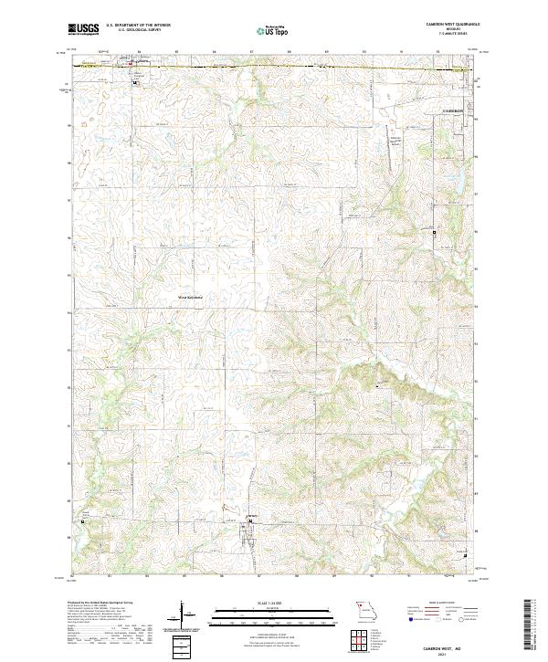
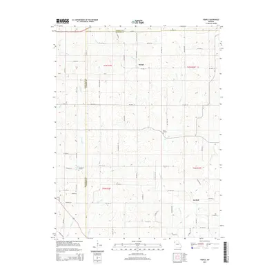
2021 Cameron West
Clinton County, MO
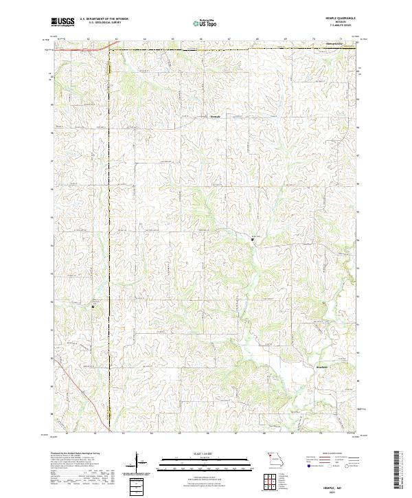
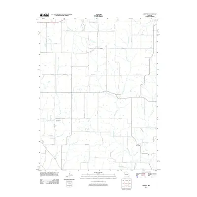
2021 Hemple
Clinton County, MO
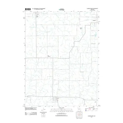
2021 Perrin
Clinton County, MO
Featured Locations
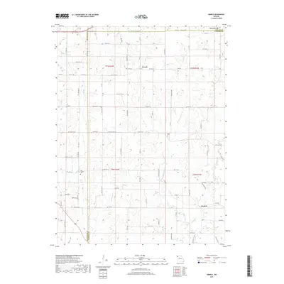
- Maple Hill, MO
- Delaney, MO
- Washington Township, MO
- Colfax Township, MO
- Stewartsville, Washington Township