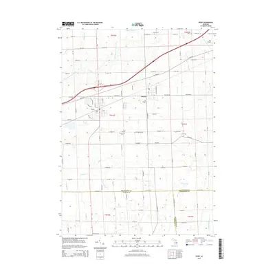
2014 Map of Perry
USGS Topo · Published 2014About this map
Morrice and Perry serve as the primary hubs in this region where the borders of Shiawassee, Ingham, and Livingston counties converge. The landscape is defined by an intricate network of agricultural drainage systems, including the Kellogg Drain, Devore Drain, and the Bennington and Perry Drain, which feed into the Looking Glass River and Vermilion Cr. This 2014 survey reveals a transition from these early water-management features to modern infrastructure, most notably the corridor near Perry Station and the rural flight operations at Dysinger Airport.
Find a feature on this map
92 named features on this map. Tap any name to fly to it.
Don’t see what you’re looking for? This feature index may not catch every label — zoom into the map to look around manually.
Map Details
Editions of this 2014 Perry Map
This is the sole edition of this map. No revisions or reprints were ever made.
Other maps of this area

1908 · Fowlerville
USGS Topo · 1:62,500

1909 · Mason
USGS Topo · 1:62,500

1910 · Fowlerville
USGS Topo · 1:62,500

1911 · Mason
USGS Topo · 1:62,500

1926 · Corunna
USGS Topo · 1:62,500

1928 · Laingsburg
USGS Topo · 1:62,500

1929 · Corunna
USGS Topo · 1:62,500

1944 · Laingsburg
USGS Topo · 1:62,500

1944 · Corunna
USGS Topo · 1:62,500

1958 · Grand Rapids
USGS Topo · 1:250,000