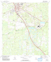
1955 Map of Perry
USGS Topo · Published 1993About this map
The timber and transit hub of Perry serves as the central focus of this mid-century survey, revealing a landscape defined by its connection to the pine-heavy lowlands of Taylor County. Centered on the industrial and agricultural activity around the Perry-Foley Airport, the map traces the intersection of rail lines and early road networks. The town center is well-documented with municipal landmarks like the Courthouse, Waterworks, and the ACL Station.
Find a feature on this map
32 named features on this map. Tap any name to fly to it.
Don’t see what you’re looking for? This feature index may not catch every label — zoom into the map to look around manually.
Map Details
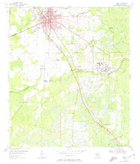
Editions of this 1955 Perry Map
3 editions found

Other maps of this area

1952 · Secotan
USGS Topo · 1:24,000

1954 · Fenholloway
USGS Topo · 1:24,000

1954 · Warrior Swamp
USGS Topo · 1:24,000

1954 · Salem
USGS Topo · 1:24,000

1954 · Boyd
USGS Topo · 1:24,000

1954 · Hampton Springs
USGS Topo · 1:24,000

1954 · Secotan
USGS Topo · 1:24,000

1954 · Day NW
USGS Topo · 1:24,000

1954 · Okefenokee Slough
USGS Topo · 1:24,000

1954 · Gainesville
USGS Topo · 1:250,000