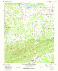
1961 Map of Perryville
USGS Topo · Published 1984About this map
Perryville serves as the focal point of this Arkansas landscape, situated where the terrain transitions from the valley of the Fourche La Fave River into the significant elevations of Perry Mountain. The 1960s survey, updated in the early 1980s, captures a rural economy defined by river commerce and timberland, evidenced by the Little Rock and Western railroad corridor and the presence of a Lookout Tower near Fourche Pinnacle.
Find a feature on this map
43 named features on this map. Tap any name to fly to it.
Don’t see what you’re looking for? This feature index may not catch every label — zoom into the map to look around manually.
Map Details
Editions of this 1961 Perryville Map
3 editions found
Other maps of this area

1889 · Morrilton No. 3
USGS Topo · 1:62,500

1890 · Benton
USGS Topo · 1:125,000

1892 · Morrillton
USGS Topo · 1:125,000

1894 · Morrillton
USGS Topo · 1:125,000

1894 · Benton
USGS Topo · 1:125,000

1955 · Little Rock
USGS Topo · 1:250,000

1956 · Little Rock
USGS Topo · 1:250,000

1956 · Russellville
USGS Topo · 1:250,000

1960 · Little Rock
USGS Topo · 1:250,000

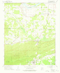
1961 · Perryville
USGS Topo · 1:24,000