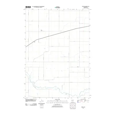
2010 Map of Perth
USGS Topo · Published 2010About this map
The Watonwan River meanders across the southern portion of this landscape, its winding course defining the geography of the lower Blue Earth County region. Near the settlement of Perth, the terrain is structured by a rigid grid of township and county roads, reflecting the systematic agricultural development of south-central Minnesota. For those researching local families, the map identifies two significant burial grounds: North Lincoln Cemetery in the north and Lincoln Cemetery situated further south. These landmarks, along with a dense network of routes like County Hwy-30 and Twp Hwy 151, illustrate the connectivity between rural homesteads and the small community hubs that sustained this farming district into the early 21st century.
Find a feature on this map
37 named features on this map. Tap any name to fly to it.
Don’t see what you’re looking for? This feature index may not catch every label — zoom into the map to look around manually.
Map Details
Editions of this 2010 Perth Map
This is the sole edition of this map. No revisions or reprints were ever made.
Other maps of this area

1951 · Mankato West
USGS Topo · 1:62,500

1953 · New Ulm
USGS Topo · 1:250,000

1954 · Fairmont
USGS Topo · 1:250,000

1957 · New Ulm
USGS Topo · 1:250,000

1958 · New Ulm
USGS Topo · 1:250,000

1958 · Fairmont
USGS Topo · 1:250,000

1965 · Madelia
USGS Topo · 1:24,000

1965 · Hanska
USGS Topo · 1:24,000

1965 · Perth
USGS Topo · 1:24,000

1965 · Cambria
USGS Topo · 1:24,000