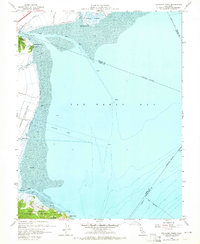
1959 Map of Petaluma Point
USGS Topo · Published 1965About this map
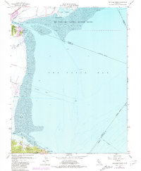
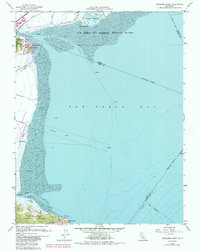
San Pablo Bay dominates this coastal survey, where the complex wetlands of Tubbs Island and the mouth of the Petaluma River meet the open water. Along the Marin County shore, the Hamilton Air Force Base footprint is clearly defined by its levee system and a designated Pipeline Area stretching into the mudflats. This late-1950s record captures the industrial and military presence at the water's edge, including the Northwestern Pacific rail line as it skirts the marshes near Black Point.
Find a feature on this map
27 named features on this map. Tap any name to fly to it.
Don’t see what you’re looking for? This feature index may not catch every label — zoom into the map to look around manually.
Map Details
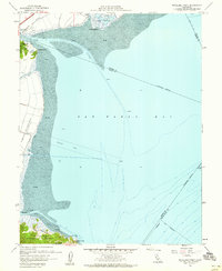
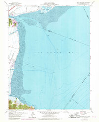
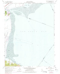
Editions of this 1959 Petaluma Point Map
6 editions found
Other maps of this area

1895 · San Francisco
USGS Topo · 1:62,500

1897 · Tamalpais
USGS Topo · 1:62,500

1899 · San Francisco
USGS Topo · 1:62,500

1902 · Napa
USGS Topo · 1:125,000

1914 · Petaluma
USGS Topo · 1:62,500

1915 · San Francisco
USGS Topo · 1:62,500

1916 · Mare Island
USGS Topo · 1:62,500

1941 · Tamalpais
USGS Topo · 1:62,500

1942 · Mare Island
USGS Topo · 1:62,500

1942 · Petaluma
USGS Topo · 1:62,500