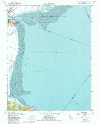
1959 Map of Petaluma Point
USGS Topo · Published 1985About this map
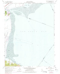
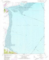
The San Pablo Bay National Wildlife Refuge dominates this mid-century survey of the northern shoreline where the Petaluma River meets the bay. The landscape is defined by vast expanses of mud flats and tidal marshes protected by an extensive system of levees. Transportation through this wetland environment is anchored by the Northwestern Pacific railroad corridor, which skirts the western edge near Black Point.
Find a feature on this map
28 named features on this map. Tap any name to fly to it.
Don’t see what you’re looking for? This feature index may not catch every label — zoom into the map to look around manually.
Map Details
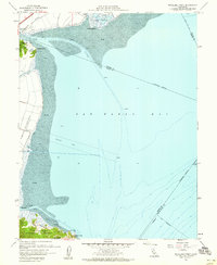
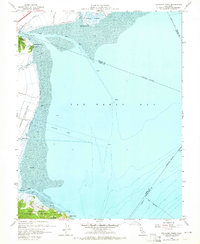
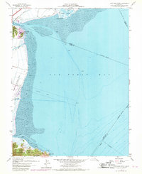
Editions of this 1959 Petaluma Point Map
6 editions found
Other maps of this area

1895 · San Francisco
USGS Topo · 1:62,500

1897 · Tamalpais
USGS Topo · 1:62,500

1899 · San Francisco
USGS Topo · 1:62,500

1902 · Napa
USGS Topo · 1:125,000

1914 · Petaluma
USGS Topo · 1:62,500

1915 · San Francisco
USGS Topo · 1:62,500

1916 · Mare Island
USGS Topo · 1:62,500

1941 · Tamalpais
USGS Topo · 1:62,500

1942 · Mare Island
USGS Topo · 1:62,500

1942 · Petaluma
USGS Topo · 1:62,500