
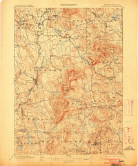
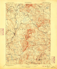
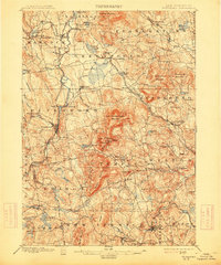
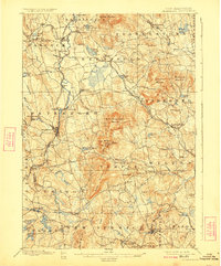
1900 Map of Peterboro
USGS Topo · Published 1900About this map
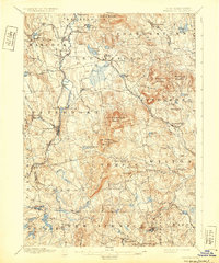
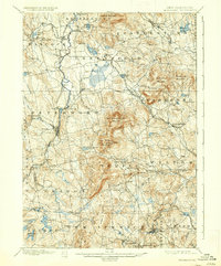
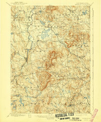
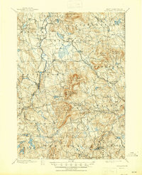
The Contoocook River carves a path through the western hills of Hillsborough County, anchoring the industrial and civic center of Peterboro. At the turn of the century, the region was defined by a sophisticated transportation network including the Boston and Maine RR and the Fitchburg RR, which connected mountain settlements like South Lyndeboro and Greenville to larger New England markets. The landscape is dominated by the prominent peaks of Pack Monadnock Mountain and North Pack Monadnock Mountain, the latter hosting General Miller Park. These elevations created a distinct settlement pattern where villages like West Peterboro and Bennington clustered near water power, while high-altitude landmarks such as Lithia Spring and Crotched Mountain remained sparsely populated. Genealogists can trace family locations across several townships including Sharon, Temple, and New Ipswich, identifying long-standing hamlets like Happy Valley and Wilder.
Find a feature on this map
98 named features on this map. Tap any name to fly to it.
Don’t see what you’re looking for? This feature index may not catch every label — zoom into the map to look around manually.
Map Details
Editions of this 1900 Peterboro Map
9 editions found
Other maps of this area

1887 · Winchendon
USGS Topo · 1:62,500

1887 · Fitchburg
USGS Topo · 1:62,500

1889 · Fitchburg
USGS Topo · 1:62,500

1890 · Winchendon
USGS Topo · 1:62,500

1893 · Fitchburg
USGS Topo · 1:62,500

1893 · Groton
USGS Topo · 1:62,500

1894 · Winchendon
USGS Topo · 1:62,500

1898 · Monadnock
USGS Topo · 1:62,500

1906 · Milford
USGS Topo · 1:62,500

1926 · Hillsboro
USGS Topo · 1:62,500