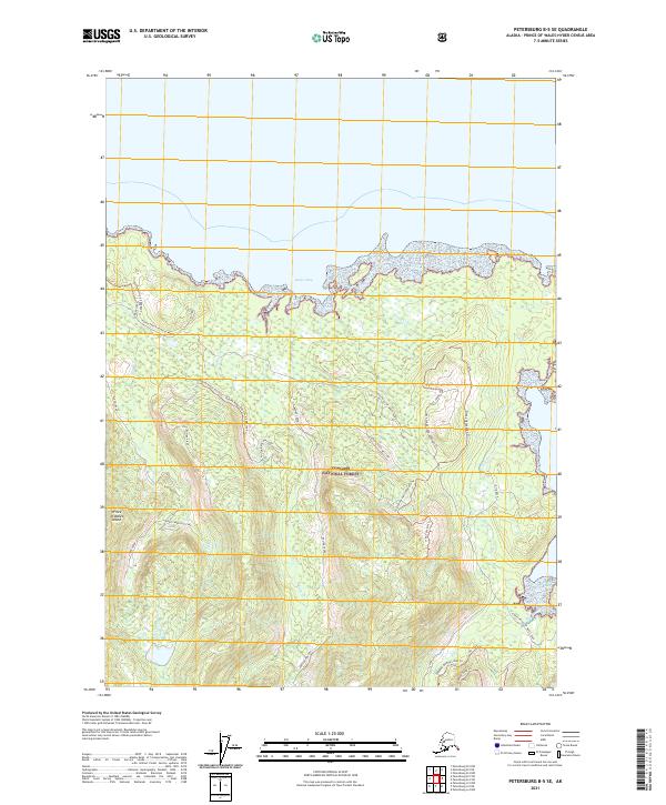
2021 Map of Petersburg B-5 SE
USGS Topo · Published 2021About this map
Tongass National Forest dominates this section of Prince of Wales Island, where the northern coastline meets the waters of Buster Bay. The landscape is a complex network of drainage basins and forest management routes, characterized by numerous watercourses such as Alder Creek East Fork and Big Creek. Access through this dense timberland is provided by the North Prince of Wales Road and specialized forest routes like the Buster Ridge 300 Level 2084100 Trl.
Find a feature on this map
34 named features on this map. Tap any name to fly to it.
Don’t see what you’re looking for? This feature index may not catch every label — zoom into the map to look around manually.
Map Details
Editions of this 2021 Petersburg B-5 SE Map
This is the sole edition of this map. No revisions or reprints were ever made.
Other maps of this area

1949 · Petersburg B-5
USGS Topo · 1:63,360

1949 · Petersburg A-5
USGS Topo · 1:63,360

1949 · Petersburg A-4
USGS Topo · 1:63,360

1949 · Petersburg B-4
USGS Topo · 1:63,360

1951 · Petersburg B-4
USGS Topo · 1:63,360

1952 · Petersburg
USGS Topo · 1:250,000
1953 · Petersburg B-5
USGS Topo · 1:63,360

1953 · Petersburg A-5
USGS Topo · 1:63,360

1953 · Petersburg A-4
USGS Topo · 1:63,360

1960 · Petersburg
USGS Topo · 1:250,000