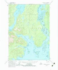
1948 Map of Petersburg C-6
USGS Topo · Published 1983About this map
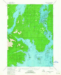
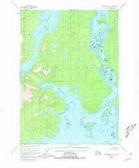
Keku Straits serves as the central artery of this coastal landscape, threading between the massive landmasses of Kuiu Island and Kupreanof Island. This 1948 survey, published with 1963 revisions, documents a complex maritime environment within the Tongass National Forest. The map detail follows the winding passage of the straits, highlighting navigational landmarks such as the Devils Elbow and the narrow channel at The Summit. Sheltered waters like Seclusion Harbor and Salt Lagoon indent the shoreline of Kuiu Island, while Port Camden dominates the northwestern reaches. The interior terrain is defined by drainages like Mud Creek and Crane Creek, providing a look at the intricate coastline before modern development, where islands such as Monte Carlo Island and Summit Island pepper the waterways.
Find a feature on this map
23 named features on this map. Tap any name to fly to it.
Don’t see what you’re looking for? This feature index may not catch every label — zoom into the map to look around manually.
Map Details
Editions of this 1948 Petersburg C-6 Map
4 editions found
Other maps of this area

1948 · Port Alexander C-1
USGS Topo · 1:63,360

1948 · Petersburg B-6
USGS Topo · 1:63,360

1948 · Port Alexander B-1
USGS Topo · 1:63,360

1948 · Petersburg D-6
USGS Topo · 1:63,360

1948 · Port Alexander D-1
USGS Topo · 1:63,360

1948 · Petersburg C-6
USGS Topo · 1:63,360

1948 · Petersburg C-5
USGS Topo · 1:63,360

1948 · Petersburg D-5
USGS Topo · 1:63,360

1949 · Petersburg B-5
USGS Topo · 1:63,360

1951 · Port Alexander
USGS Topo · 1:250,000