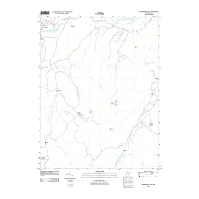
2011 Map of Petersburg East
USGS Topo · Published 2011About this map
Petersburg sits at the northern edge of this West Virginia landscape, where the South Branch Potomac River meets the drainages of Mill Creek and Johnson Run. The terrain is defined by the high ridges of Gap Mountain and Elkhorn Mountain, creating a series of narrow valleys that host small communities and agricultural operations. Local infrastructure is prominently featured, including the Spring Run Fish Hatchery near Masonville and the Dorcas Post Office serving the central valley along South Mill Creek.
Find a feature on this map
58 named features on this map. Tap any name to fly to it.
Don’t see what you’re looking for? This feature index may not catch every label — zoom into the map to look around manually.
Map Details
Editions of this 2011 Petersburg East Map
This is the sole edition of this map. No revisions or reprints were ever made.
Other maps of this area

1891 · Romney
USGS Topo · 1:125,000

1892 · Franklin
USGS Topo · 1:125,000

1892 · Woodstock
USGS Topo · 1:125,000

1895 · Piedmont
USGS Topo · 1:125,000

1896 · Franklin
USGS Topo · 1:125,000

1920 · Petersburg
USGS Topo · 1:48,000

1920 · Moorefield
USGS Topo · 1:62,500

1921 · Orkney Springs
USGS Topo · 1:48,000

1921 · Petersburg
USGS Topo · 1:48,000

1921 · Greenland Gap
USGS Topo · 1:62,500