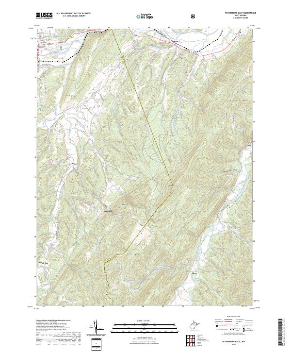
2023 Map of Petersburg East
USGS Topo · Published 2023About this map
Grant County Courthouse and the Grant County Magistrate Court anchor the northwest corner of this West Virginia study, where the South Branch Potomac River cuts through the Petersburg Gap. The landscape transitions from the river valley into the high ridges of Gap Mtn and Getz Mtn, characterized by numerous spring-fed runs and hollows. Small agricultural settlements like Durgon, Dorcas, and Masonville are connected by a network of rural routes, including S Mill Creek Rd and Durgon Rd.
Find a feature on this map
82 named features on this map. Tap any name to fly to it.
Don’t see what you’re looking for? This feature index may not catch every label — zoom into the map to look around manually.
Map Details
Editions of this 2023 Petersburg East Map
This is the sole edition of this map. No revisions or reprints were ever made.
Other maps of this area

1891 · Romney
USGS Topo · 1:125,000

1892 · Franklin
USGS Topo · 1:125,000

1892 · Woodstock
USGS Topo · 1:125,000

1895 · Piedmont
USGS Topo · 1:125,000

1896 · Franklin
USGS Topo · 1:125,000

1920 · Petersburg
USGS Topo · 1:48,000

1920 · Moorefield
USGS Topo · 1:62,500

1921 · Orkney Springs
USGS Topo · 1:48,000

1921 · Petersburg
USGS Topo · 1:48,000

1921 · Greenland Gap
USGS Topo · 1:62,500