
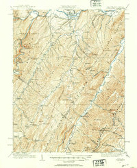
1920 Map of Petersburg
USGS Topo · Published 1920About this map
The North Fork Potomac River and the South Branch Potomac River converge near the northern edge of this territory, where the Baltimore and Ohio RR serves the regional hub of Petersburg. The landscape is defined by the high ridges of South Branch Mountain and Middle Mountain, which shaped a decentralized settlement pattern of small farming and mountain communities. A high concentration of rural institutions is evident, including the Smoke Hole Settlement to the west and numerous family-named landmarks like Sites Chapel and Hedrick Church.
Find a feature on this map
104 named features on this map. Tap any name to fly to it.
Don’t see what you’re looking for? This feature index may not catch every label — zoom into the map to look around manually.
Map Details
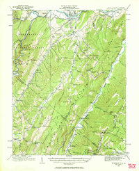
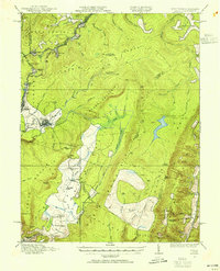
Editions of this 1920 Petersburg Map
3 editions found
Other maps of this area

1891 · Romney
USGS Topo · 1:125,000

1892 · Franklin
USGS Topo · 1:125,000

1892 · Woodstock
USGS Topo · 1:125,000

1895 · Piedmont
USGS Topo · 1:125,000

1896 · Franklin
USGS Topo · 1:125,000

1916 · Davis
USGS Topo · 1:48,000

1918 · Davis
USGS Topo · 1:62,500
1919 · Davis
USGS Topo · 1:62,500
1920 · Davis
USGS Topo · 1:48,000

1920 · Moorefield
USGS Topo · 1:62,500