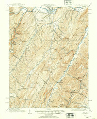
1920 Map of Petersburg
USGS Topo · Published 1953About this map
South Br Potomac R and the Baltimore and Ohio railroad corridor anchor this early 20th-century survey of the Appalachian highlands. The landscape is defined by the steep parallel ridges of North Fork Mountain and South Fork Mountain, where isolated communities like the Smoke Hole Settlement established a foothold. Cultural life in the gaps and valleys is evidenced by an exceptionally high density of rural schoolhouses, including the Royal Glen School near the Royal Glen Mill and the Sweedlin Valley School to the south.
Find a feature on this map
105 named features on this map. Tap any name to fly to it.
Don’t see what you’re looking for? This feature index may not catch every label — zoom into the map to look around manually.
Map Details
Editions of this 1920 Petersburg Map
3 editions found
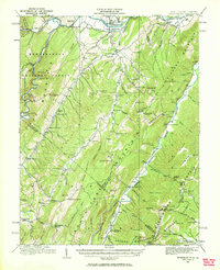
Other maps of this area

1891 · Romney
USGS Topo · 1:125,000

1892 · Franklin
USGS Topo · 1:125,000

1892 · Woodstock
USGS Topo · 1:125,000

1895 · Piedmont
USGS Topo · 1:125,000

1896 · Franklin
USGS Topo · 1:125,000

1916 · Davis
USGS Topo · 1:48,000

1918 · Davis
USGS Topo · 1:62,500

1919 · Davis
USGS Topo · 1:62,500

1920 · Davis
USGS Topo · 1:48,000

1920 · Petersburg
USGS Topo · 1:48,000