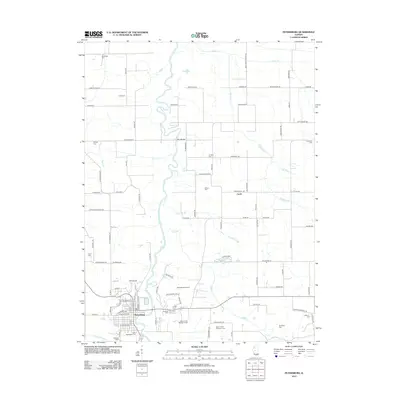
2012 Map of Petersburg
USGS Topo · Published 2012About this map
The Sangamon River carves a winding path through this Menard County landscape, defining the character of Petersburg and the surrounding farmland. The town serves as a focal point, anchored by numerous historical burial grounds including Rosehill Cem, Calvary Cem, and Saint Petersburg Cem. To the north, the small settlement of Curtis sits near the headwaters of Cabiness Cr, while the terrain features distinctive local identifiers such as Cape Horn.
Find a feature on this map
98 named features on this map. Tap any name to fly to it.
Don’t see what you’re looking for? This feature index may not catch every label — zoom into the map to look around manually.
Map Details
Editions of this 2012 Petersburg Map
This is the sole edition of this map. No revisions or reprints were ever made.
Other maps of this area

1907 · Springfield
USGS Topo · 1:62,500

1909 · Tallula
USGS Topo · 1:62,500

1930 · Springfield
USGS Topo · 1:62,500

1933 · Petersburg
USGS Topo · 1:62,500

1938 · Petersburg
USGS Topo · 1:62,500

1940 · Tallula
USGS Topo · 1:62,500

1940 · Springfield
USGS Topo · 1:62,500

1948 · Mason City
USGS Topo · 1:62,500

1949 · Mason City
USGS Topo · 1:62,500

1958 · Peoria
USGS Topo · 1:250,000