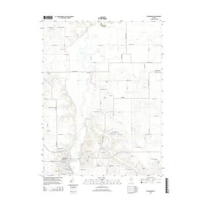
2015 Map of Petersburg
USGS Topo · Published 2015About this map
Petersburg anchors the southwestern corner of this survey, where the Sangamon River carves a winding path through the heart of Menard County. This landscape is a patchwork of agricultural plots and small settlements, including Greenview to the northeast and Curtis centrally located. The terrain is defined by the river’s floodplain and its various tributaries such as Cabiness Cr, Indian Cr, and Hemp Factory Br, which drain the surrounding prairie into the larger river system.
Find a feature on this map
85 named features on this map. Tap any name to fly to it.
Don’t see what you’re looking for? This feature index may not catch every label — zoom into the map to look around manually.
Map Details
Editions of this 2015 Petersburg Map
This is the sole edition of this map. No revisions or reprints were ever made.
Other maps of this area

1907 · Springfield
USGS Topo · 1:62,500

1909 · Tallula
USGS Topo · 1:62,500

1930 · Springfield
USGS Topo · 1:62,500

1933 · Petersburg
USGS Topo · 1:62,500

1938 · Petersburg
USGS Topo · 1:62,500

1940 · Tallula
USGS Topo · 1:62,500

1940 · Springfield
USGS Topo · 1:62,500

1948 · Mason City
USGS Topo · 1:62,500

1949 · Mason City
USGS Topo · 1:62,500

1958 · Peoria
USGS Topo · 1:250,000