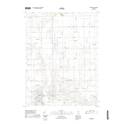
2018 Map of Petersburg
USGS Topo · Published 2018About this map
Petersburg sits prominently in the lower-left quadrant of this Menard County landscape, positioned along the banks of the Sangamon River. The terrain is defined by the winding river valley and its tributaries, including Concord Cr, Indian Cr, and Cabiness Cr, which carve through the central Illinois prairie. A notable density of burial sites suggests a long-established local genealogy, with numerous small and larger cemeteries such as Oakland Cem, Calvary Cem, Rosehill Cem, and the unique Baker-Prairie Number 1 Cem and Baker Prairie Number 2 Cem dotted across the countryside.
Find a feature on this map
97 named features on this map. Tap any name to fly to it.
Don’t see what you’re looking for? This feature index may not catch every label — zoom into the map to look around manually.
Map Details
Editions of this 2018 Petersburg Map
This is the sole edition of this map. No revisions or reprints were ever made.
Other maps of this area

1907 · Springfield
USGS Topo · 1:62,500

1909 · Tallula
USGS Topo · 1:62,500

1930 · Springfield
USGS Topo · 1:62,500

1933 · Petersburg
USGS Topo · 1:62,500

1938 · Petersburg
USGS Topo · 1:62,500

1940 · Tallula
USGS Topo · 1:62,500

1940 · Springfield
USGS Topo · 1:62,500

1948 · Mason City
USGS Topo · 1:62,500

1949 · Mason City
USGS Topo · 1:62,500

1958 · Peoria
USGS Topo · 1:250,000