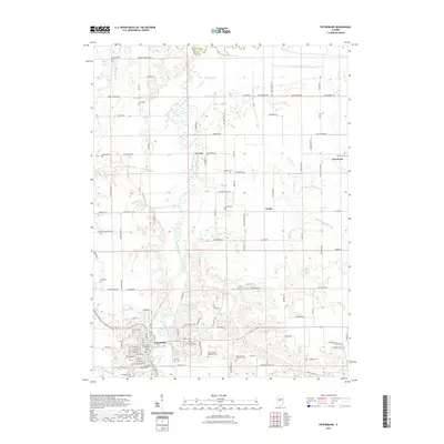
2021 Map of Petersburg
USGS Topo · Published 2021About this map
Petersburg sits prominently along the winding banks of the Sangamon River, serving as a focal point for this section of Menard County. The town's civic heart is anchored by the Menard County Courthouse, surrounded by a regular grid of streets such as W Adams St and W Jefferson St. The surrounding landscape is defined by its agricultural character and a high density of rural burial grounds, which offer significant value for genealogical research. Notable sites include Baker Prairie Number 1 Cem and Baker Prairie Number 2 Cem to the east, and Rose Hill Cem situated near the town center. To the north, the small community of Curtis and the village of Greenview mark the transition toward flatter terrain, drained by Cabiness Cr and Grove Cr. The mapping of family-named roads like Deverman Rd and Altig Bridge RD further reflects the long-standing landownership patterns of this Illinois prairie region.
Find a feature on this map
112 named features on this map. Tap any name to fly to it.
Don’t see what you’re looking for? This feature index may not catch every label — zoom into the map to look around manually.
Map Details
Editions of this 2021 Petersburg Map
This is the sole edition of this map. No revisions or reprints were ever made.
Other maps of this area

1907 · Springfield
USGS Topo · 1:62,500

1909 · Tallula
USGS Topo · 1:62,500

1930 · Springfield
USGS Topo · 1:62,500

1933 · Petersburg
USGS Topo · 1:62,500

1938 · Petersburg
USGS Topo · 1:62,500

1940 · Tallula
USGS Topo · 1:62,500

1940 · Springfield
USGS Topo · 1:62,500

1948 · Mason City
USGS Topo · 1:62,500

1949 · Mason City
USGS Topo · 1:62,500

1958 · Peoria
USGS Topo · 1:250,000