
1952 Map of Petersburg
USGS Topo · Published 1953About this map
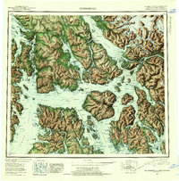
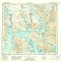
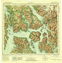
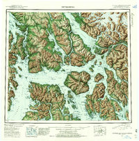
Kuiu Island, Kupreanof Island, and Wrangell Island anchor this mid-century reconnaissance of the Alexander Archipelago, showing the intricate waterways and scattered settlements of Southeast Alaska. The geography is defined by narrow channels like Keku Strait and Zimovia Strait, which served as the primary transit corridors for the region's fishing and maritime activities. At the heart of the map, Petersburg sits at the northern tip of Mitkof Island, across from the Lindenberg Peninsula, while Wrangell serves as a hub to the southeast. Local industry and maritime history are highlighted by scattered Mines and numerous coastal Cabins, particularly around Prince of Wales Island. On Zarembo Island, Cemetery Pt marks a point of local significance. The inland boundary at the far east shows the rugged international divide between the United States and British Columbia, where peaks such as Castle Mtn and Mt Pratt rise within the Tongass National Forest.
Find a feature on this map
251 named features on this map. Tap any name to fly to it.
Don’t see what you’re looking for? This feature index may not catch every label — zoom into the map to look around manually.
Map Details
Editions of this 1952 Petersburg Map
5 editions found
Other maps of this area

1948 · Sumdum A-4
USGS Topo · 1:63,360

1948 · Port Alexander C-1
USGS Topo · 1:63,360

1948 · Petersburg A-6
USGS Topo · 1:63,360

1948 · Petersburg A-1
USGS Topo · 1:63,360

1948 · Petersburg A-2
USGS Topo · 1:63,360

1948 · Port Alexander A-1
USGS Topo · 1:63,360

1948 · Sumdum A-5
USGS Topo · 1:63,360

1948 · Petersburg C-4
USGS Topo · 1:63,360

1948 · Petersburg B-6
USGS Topo · 1:63,360

1948 · Petersburg C-1
USGS Topo · 1:63,360