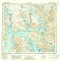
1952 Map of Petersburg
USGS Topo · Published 1955About this map
Petersburg and Wrangell anchor this mid-century maritime corridor within the Tongass National Forest, illustrating a landscape defined by an intricate network of islands and deep-water passages. The map depicts the transition of the region's coastal economy, showing active settlements alongside markers of earlier habitation like Shakan (Aban'd) on Kosciusko Island. The Stikine River flows from the east, cutting through the Wilkes Range near the border between the United States and Canada.
Find a feature on this map
79 named features on this map. Tap any name to fly to it.
Don’t see what you’re looking for? This feature index may not catch every label — zoom into the map to look around manually.
Map Details
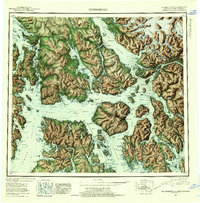
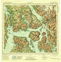
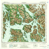
Editions of this 1952 Petersburg Map
5 editions found

Other maps of this area

1948 · Sumdum A-4
USGS Topo · 1:63,360

1948 · Port Alexander C-1
USGS Topo · 1:63,360

1948 · Petersburg A-6
USGS Topo · 1:63,360

1948 · Petersburg A-1
USGS Topo · 1:63,360

1948 · Petersburg A-2
USGS Topo · 1:63,360

1948 · Port Alexander A-1
USGS Topo · 1:63,360

1948 · Sumdum A-5
USGS Topo · 1:63,360

1948 · Petersburg C-4
USGS Topo · 1:63,360

1948 · Petersburg B-6
USGS Topo · 1:63,360

1948 · Petersburg C-1
USGS Topo · 1:63,360