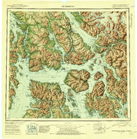
1952 Map of Petersburg
USGS Topo · Published 1956About this map
Petersburg and Wrangell anchor this mid-century reconnaissance of the Alexander Archipelago, where the complex waterways of the Tongass National Forest meet the Canada Alaska Boundary. This 1952 compilation highlights a maritime landscape defined by massive island blocks like Kupreanof Island, Zarembo Island, and Prince of Wales Island. The map documents the vital importance of coastal settlements and remote outposts such as Doyhof, Point Baker, and the cannery site at Kake. The interior of these islands is largely roadless, with transit dictated by passages like Zimovia Strait and the Stikine River delta. Local industry is visible through labels for a Mine and the Berg Mine, while landmarks like Cemetery Pt and Thunder Mtn provide essential navigation points for the fishing and timber communities of the First Judicial Division.
Find a feature on this map
57 named features on this map. Tap any name to fly to it.
Don’t see what you’re looking for? This feature index may not catch every label — zoom into the map to look around manually.
Map Details
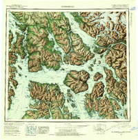
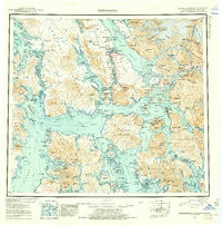
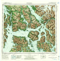
Editions of this 1952 Petersburg Map
5 editions found

Other maps of this area

1948 · Sumdum A-4
USGS Topo · 1:63,360

1948 · Port Alexander C-1
USGS Topo · 1:63,360

1948 · Petersburg A-6
USGS Topo · 1:63,360

1948 · Petersburg A-1
USGS Topo · 1:63,360

1948 · Petersburg A-2
USGS Topo · 1:63,360

1948 · Port Alexander A-1
USGS Topo · 1:63,360

1948 · Sumdum A-5
USGS Topo · 1:63,360

1948 · Petersburg C-4
USGS Topo · 1:63,360

1948 · Petersburg B-6
USGS Topo · 1:63,360

1948 · Petersburg C-1
USGS Topo · 1:63,360