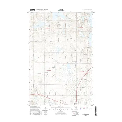
2016 Map of Peterson Lake
USGS Topo · Published 2016About this map
Bemidji Regional Airport serves as a modern anchor in the southern portion of this landscape, while the surrounding terrain is defined by a dense concentration of glacial lakes and wetlands characteristic of northern Minnesota. The settlement of Werner sits in the northern reaches, surrounded by a network of rural roads such as Campbell Lake Rd NW and Dunne Rd NW. These routes navigate a landscape heavily punctuated by water bodies including Turtle Lake, Peterson Lake, and the smaller Des Moines Lake.
Find a feature on this map
48 named features on this map. Tap any name to fly to it.
Don’t see what you’re looking for? This feature index may not catch every label — zoom into the map to look around manually.
Map Details
Editions of this 2016 Peterson Lake Map
This is the sole edition of this map. No revisions or reprints were ever made.
Other maps of this area

1919 · Solway
USGS Topo · 1:62,500

1920 · Buena Vista
USGS Topo · 1:62,500

1943 · Solway
USGS Topo · 1:62,500

1954 · Bemidji
USGS Topo · 1:250,000

1957 · Bemidji
USGS Topo · 1:250,000

1958 · Bemidji
USGS Topo · 1:250,000

1968 · Bemidji East
USGS Topo · 1:24,000

1968 · Bemidji West
USGS Topo · 1:24,000

1972 · Peterson Lake
USGS Topo · 1:24,000

1972 · White Fish Lake
USGS Topo · 1:24,000