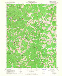
1966 Map of Peterson
USGS Topo · Published 1968About this map
Collins Settlement occupies the central valley of this mid-1960s survey, illustrating the deep-cut topography of Lewis and Braxton counties. The landscape is defined by an intricate network of waterways, including Sand Fork, Indian Fork, and the West Fork River, where small communities like Peterson, Bennett, and Arnold are situated along narrow bottomlands. Cultural life in these hills is anchored by traditional landmarks such as St Bernards Ch and St Bridgets Ch, while the industrial footprint is marked by several Strip Mines and numerous oil and gas wells dotted across the ridges.
Find a feature on this map
57 named features on this map. Tap any name to fly to it.
Don’t see what you’re looking for? This feature index may not catch every label — zoom into the map to look around manually.
Map Details
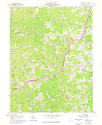
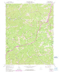
Editions of this 1966 Peterson Map
3 editions found
Other maps of this area

1893 · Buckhannon
USGS Topo · 1:125,000

1893 · Sutton
USGS Topo · 1:125,000

1896 · Buckhannon
USGS Topo · 1:125,000

1897 · Buckhannon
USGS Topo · 1:125,000

1904 · Weston
USGS Topo · 1:62,500

1904 · Vadis
USGS Topo · 1:62,500

1906 · Burnsville
USGS Topo · 1:62,500

1912 · Crawford
USGS Topo · 1:48,000

1914 · Crawford
USGS Topo · 1:62,500

1925 · Burnsville
USGS Topo · 1:62,500