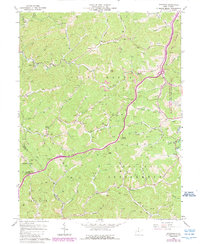
1966 Map of Peterson
USGS Topo · Published 1989About this map
The boundary between Courthouse District and Collins Settlement District divides this Central West Virginia landscape, which is characterized by a dense network of mountain runs and ridges. The 1989 photorevision reveals the expansion of the Stonewall Jackson Lake Public Hunting and Fishing Area along the eastern edge, reflecting a shift toward recreational land use in the late 20th century.
Find a feature on this map
64 named features on this map. Tap any name to fly to it.
Don’t see what you’re looking for? This feature index may not catch every label — zoom into the map to look around manually.
Map Details
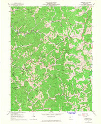
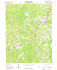
Editions of this 1966 Peterson Map
3 editions found
Other maps of this area

1893 · Buckhannon
USGS Topo · 1:125,000

1893 · Sutton
USGS Topo · 1:125,000

1896 · Buckhannon
USGS Topo · 1:125,000

1897 · Buckhannon
USGS Topo · 1:125,000

1904 · Weston
USGS Topo · 1:62,500

1904 · Vadis
USGS Topo · 1:62,500

1906 · Burnsville
USGS Topo · 1:62,500

1912 · Crawford
USGS Topo · 1:48,000

1914 · Crawford
USGS Topo · 1:62,500

1925 · Burnsville
USGS Topo · 1:62,500