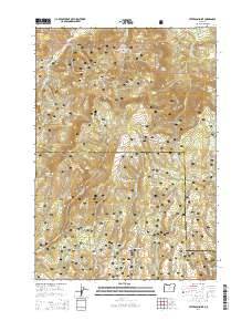
2014 Map of Peterson Point
USGS Topo · Published 2014About this map
The Ochcho Mountains define the high-elevation landscape of this portion of the Ochoco National Forest, where the topography is heavily shaped by volcanic activity. Distinctive geological formations like the Broadway Lava and Peterson Lava flows mark the center of the sheet, while the elevation peaks at Peterson Point and Black Mtn. This 2014 survey reveals an environment where water is a precious and widely dispersed resource, evidenced by dozens of named springs such as Lava Spring, Broadway Spring, and Antelope Spring. The drainage network, including Peterson Creek and Dry Porter Creek, carves through the forest, supporting a network of forest development roads that provide access to this high-country terrain. The boundary between Wheeler and Crook counties bisects the quadrangle, illustrating how these high ridges serve as political and natural dividers in Central Oregon.
Find a feature on this map
74 named features on this map. Tap any name to fly to it.
Don’t see what you’re looking for? This feature index may not catch every label — zoom into the map to look around manually.
Map Details
Editions of this 2014 Peterson Point Map
This is the sole edition of this map. No revisions or reprints were ever made.
Other maps of this area

1926 · Mitchell
USGS Topo · 1:125,000

1932 · Dayville
USGS Topo · 1:125,000

1936 · Dayville
USGS Topo · 1:125,000

1953 · Richmond
USGS Topo · 1:62,500

1955 · Bend
USGS Topo · 1:250,000

1955 · Canyon City
USGS Topo · 1:250,000

1957 · Bend
USGS Topo · 1:250,000

1958 · Bend
USGS Topo · 1:250,000

1959 · Canyon City
USGS Topo · 1:250,000

1965 · Williams Prairie
USGS Topo · 1:24,000