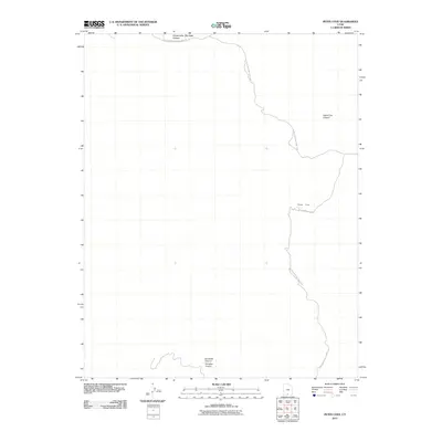
2011 Map of Petes Cove
USGS Topo · Published 2011About this map
Glen Canyon National Park defines much of this desert landscape, where the rugged southern boundaries of the Kaiparowits Plateau meet the deeply incised drainages of the Escalante River system. The map documents a sparsely settled region of Kane County characterized by dramatic vertical relief and significant landform transitions. Notable geographic landmarks include the high-desert expanse of Big Sage and the winding passage of Upper Trail Canyon. In the southern portion of the quadrangle, the confluence of Escalante Canyon and Paradise Canyon highlights the complex network of side canyons and coves, such as Petes Cove, that have shaped the geological history and human accessibility of this remote parkland.
Find a feature on this map
6 named features on this map. Tap any name to fly to it.
Don’t see what you’re looking for? This feature index may not catch every label — zoom into the map to look around manually.
Map Details
Editions of this 2011 Petes Cove Map
This is the sole edition of this map. No revisions or reprints were ever made.
Other maps of this area

1886 · Escalante
USGS Topo · 1:250,000

1922 · Upper Last Chance
USGS Topo · 1:63,360

1922 · Rees Canyon
USGS Topo · 1:63,360

1956 · Escalante
USGS Topo · 1:250,000

1960 · Escalante
USGS Topo · 1:250,000

1964 · Seep Flat
USGS Topo · 1:24,000

1964 · Death Ridge
USGS Topo · 1:24,000

1964 · Carcass Canyon
USGS Topo · 1:24,000

1968 · Fourmile Bench
USGS Topo · 1:24,000
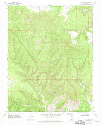
1968 · Petes Cove
USGS Topo · 1:24,000