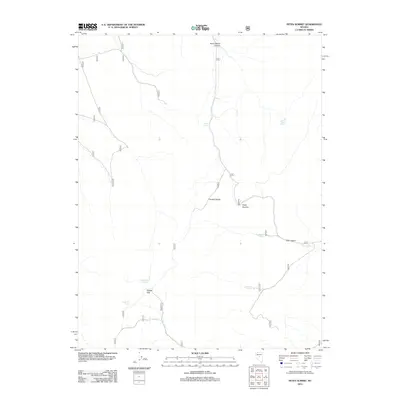
2012 Map of Petes Summit
USGS Topo · Published 2012About this map
Petes Summit serves as a central landmark within the Toiyabe Range, illustrating the essential connection between high-altitude passes and reliable water sources in this part of Nevada. The landscape is defined by its network of named springs, such as Henry Meyer Spring, Sams Spring, and Turquoise Spring, which likely dictated movement through the mountains for generations. The presence of Clipper Gap and its associated Clipper Gap Spring indicates a topography where natural breaks in the range provide both passage and sustenance. Further north, the terrain drops into Henry Meyer Canyon, while to the east, Trail Canyon and Deer Spring mark traditional routes through the high country. This map documents a high-desert environment where small, localized features like Sage Hen Spring remain the primary points of orientation and utility.
Find a feature on this map
12 named features on this map. Tap any name to fly to it.
Don’t see what you’re looking for? This feature index may not catch every label — zoom into the map to look around manually.
Map Details
Editions of this 2012 Petes Summit Map
This is the sole edition of this map. No revisions or reprints were ever made.
Other maps of this area

1926 · Roberts Mountains
USGS Topo · 1:250,000

1929 · Roberts Mountains
USGS Topo · 1:250,000

1955 · Millett
USGS Topo · 1:250,000

1959 · Millett
USGS Topo · 1:250,000

1960 · Hickison Summit
USGS Topo · 1:62,500

1960 · Spencer Hot Springs
USGS Topo · 1:62,500

1960 · Dianas Punch Bowl
USGS Topo · 1:62,500

1960 · Wildcat Peak
USGS Topo · 1:62,500

1978 · Summit Mountain
USGS Topo · 1:100,000
1989 · Dianas Punch Bowl
USGS Topo · 1:24,000