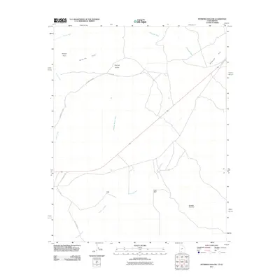
2011 Map of Petrified Hollow
USGS Topo · Published 2011About this map
Vermilion Cliffs dominates the northwestern horizon of this high-desert landscape near the Arizona-Utah border. The terrain is defined by a network of drainage systems including Seaman Wash, Telegraph Wash, and White Sage Wash, which carve through the arid plateaus. Sparse human activity is anchored by isolated outposts like Hods Ranch and the School Section Ranch, connected by primitive thoroughfares such as Old Arizona Rd and Waterline Rd. To the south, the topography rises toward the broad slopes of Buckskin Mountain. This 2011 survey captures the area's transition between the colorful cliff faces and the open expanses of Telegraph Flat, where the namesake Petrified Hollow sits as a distinct geographical feature in a region of profound geological exposure.
Find a feature on this map
14 named features on this map. Tap any name to fly to it.
Don’t see what you’re looking for? This feature index may not catch every label — zoom into the map to look around manually.
Map Details
Editions of this 2011 Petrified Hollow Map
This is the sole edition of this map. No revisions or reprints were ever made.
Other maps of this area

1886 · Kanab
USGS Topo · 1:250,000

1886 · Kaibab
USGS Topo · 1:250,000

1953 · Cedar City
USGS Topo · 1:250,000

1953 · Grand Canyon
USGS Topo · 1:250,000

1954 · Buckskin Gulch NW
USGS Topo · 1:24,000

1954 · Buckskin Gulch NE
USGS Topo · 1:24,000

1954 · Buckskin Gulch SE
USGS Topo · 1:24,000

1954 · Buckskin Gulch SW
USGS Topo · 1:24,000

1954 · Johnson SE
USGS Topo · 1:24,000
1954 · House Rock Spring NE
USGS Topo · 1:24,000