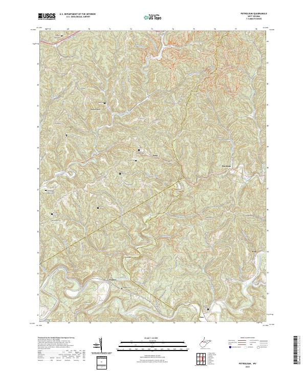
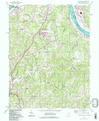
2023 Map of Petroleum
USGS Topo · Published 2023About this map
Petroleum and the surrounding highlands sit at a complex meeting point of Wood, Wirt, and Ritchie Counties. The landscape is defined by the winding course of the Hughes River and the North Fork Hughes River, where the historic Staunton Tpke once facilitated travel through this steep terrain. Smaller communities like Eaton and Freeport are linked by a network of county routes and ridges, including Olive Ridge Rd and White Oak Ridge. Local history is preserved in numerous family and community sites, such as the Greenhill Catholic Cem and the Independent Order of Odd Fellows Cem. The presence of labels like Oil Spring Run and the town name Petroleum itself point to the region's industrial heritage in resource extraction. Natural landmarks such as Buzzard Rocks stand out among the many runs and forks that drain into Goose Creek.
Find a feature on this map
89 named features on this map. Tap any name to fly to it.
Don’t see what you’re looking for? This feature index may not catch every label — zoom into the map to look around manually.
Map Details
Editions of this 2023 Petroleum Map
This is the sole edition of this map. No revisions or reprints were ever made.
Historical Maps of Oil Spring Through Time
12 maps found
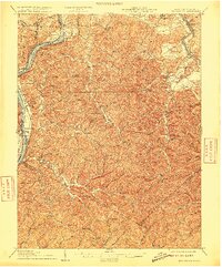
1906 Belleville
Wood County, WV

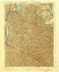
1924 Belleville
Wood County, WV
1926 Belleville
Wood County, WV
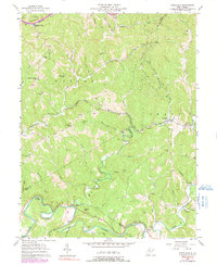
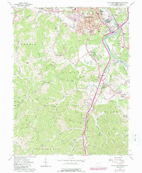
1957 Petroleum
Wood County, WV
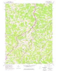
1957 Valley Mills
Wood County, WV
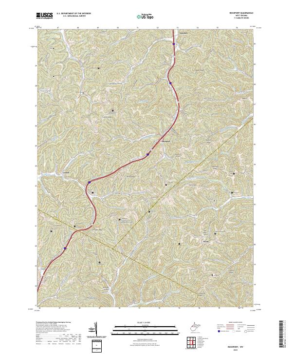
1960 Rockport
Wood County, WV
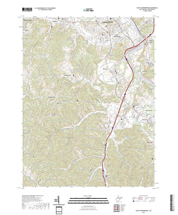
1961 South Parkersburg
Wood County, WV
1994 Valley Mills
Wood County, WV
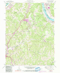
2023 Petroleum
Wood County, WV
2023 Rockport
Wood County, WV
2023 South Parkersburg
Wood County, WV
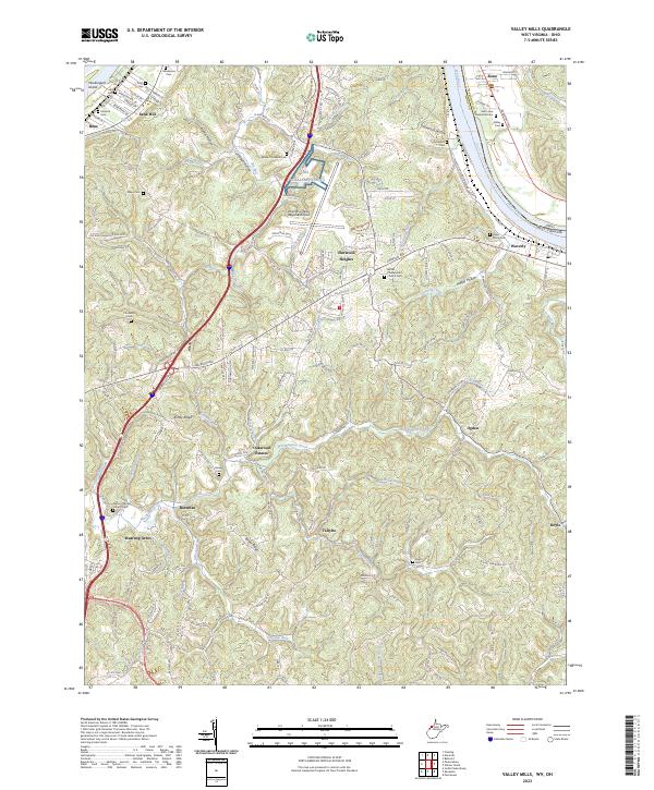
2023 Valley Mills
Wood County, WV