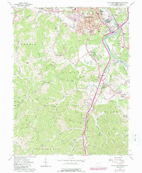
1961 Map of South Parkersburg
USGS Topo · Published 1989About this map
South Parkersburg and the winding Little Kanawha River define this 1960s landscape, illustrating the suburban expansion and industrial footprint of Wood County during the mid-century. The map captures a detailed grid of residential streets south of the river, punctuated by local landmarks like the Edison Jr High Sch and South Parkersburg High Sch. Beyond the urban core, the terrain shifts into the ridgelines and hollows of Lubeck and Tygart, where small settlements such as Larkmead, Pettyville, and Mineralwells are scattered along early road networks like Telephone Road.
Find a feature on this map
97 named features on this map. Tap any name to fly to it.
Don’t see what you’re looking for? This feature index may not catch every label — zoom into the map to look around manually.
Map Details
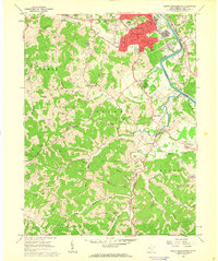
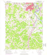
Editions of this 1961 South Parkersburg Map
3 editions found
Other maps of this area

1902 · Parkersburg
USGS Topo · 1:62,500

1904 · Parkersburg
USGS Topo · 1:62,500

1904 · Marietta
USGS Topo · 1:62,500

1906 · Elizabeth
USGS Topo · 1:62,500

1906 · Belleville
USGS Topo · 1:62,500

1924 · Belleville
USGS Topo · 1:62,500

1924 · Marietta
USGS Topo · 1:62,500

1924 · Elizabeth
USGS Topo · 1:62,500

1926 · Elizabeth
USGS Topo · 1:62,500

1926 · Belleville
USGS Topo · 1:62,500