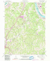
1957 Map of Valley Mills
USGS Topo · Published 1991About this map
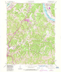
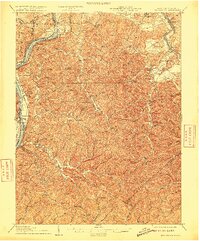
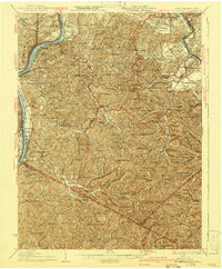
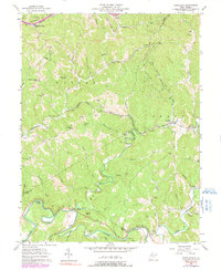
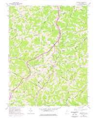
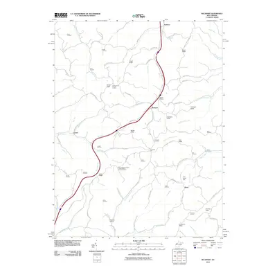
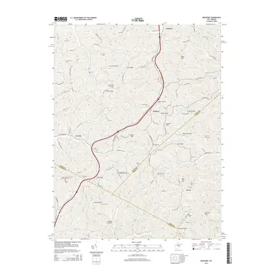
Wood County Airport and the surrounding river bottomlands define the landscape of Wood County during the late 1950s. The Ohio River serves as the primary corridor for commerce and transportation, with the CSX railroad tracing its eastern bank through Waverly and past Old Lock No 17. Away from the water, the terrain rises into prominent features like Ashby Ridge and Tallyho Ridge, where small rural communities are anchored by local institutions such as Union Valley Ch, Boreman Sch, and the Old Boreman Sch.
Find a feature on this map
73 named features on this map. Tap any name to fly to it.
Don’t see what you’re looking for? This feature index may not catch every label — zoom into the map to look around manually.
Map Details
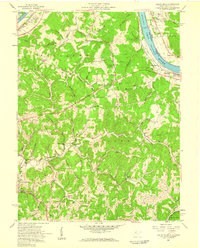
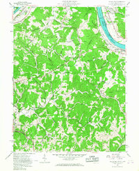
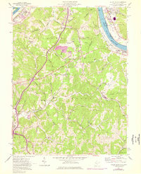
Editions of this 1957 Valley Mills Map
5 editions found
Historical Maps of Ponderosa Through Time
28 maps found
1906 Belleville
Wood County, WV

1924 Belleville
Wood County, WV
1926 Belleville
Wood County, WV
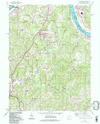
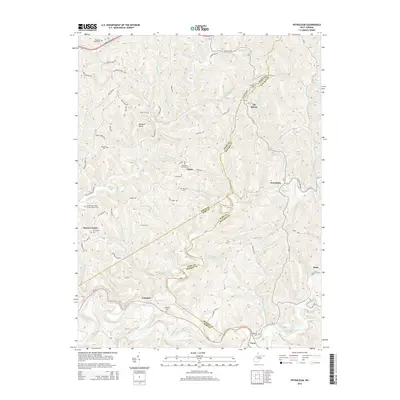
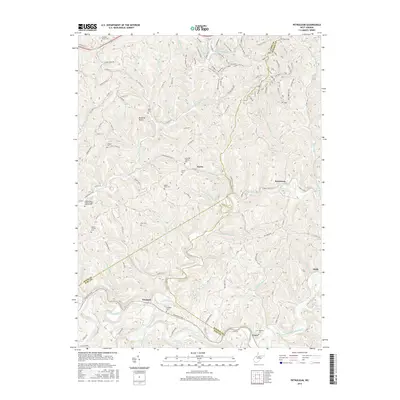
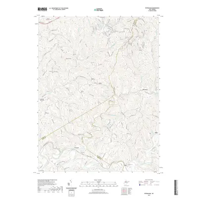
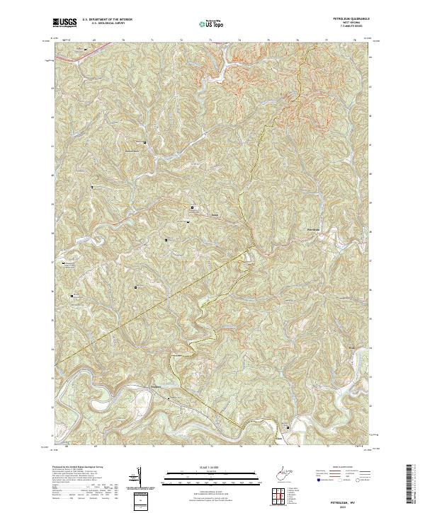
1957 Petroleum
Wood County, WV
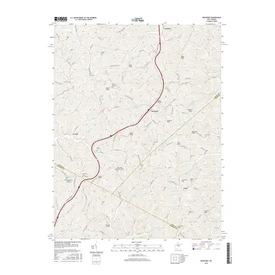
1957 Valley Mills
Wood County, WV
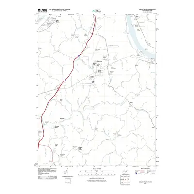
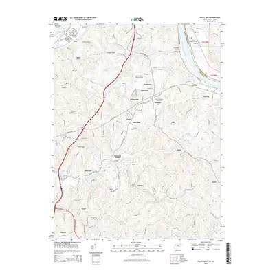
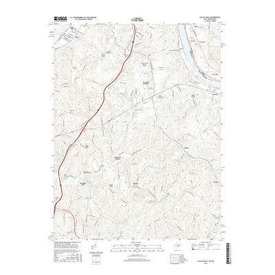
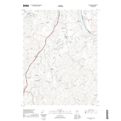
1960 Rockport
Wood County, WV
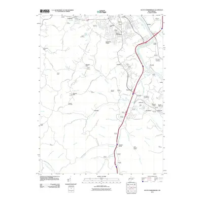
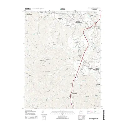
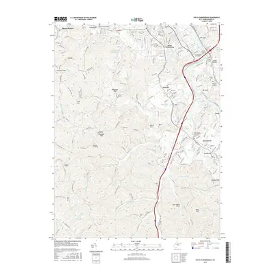
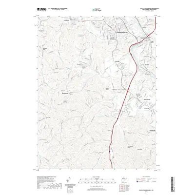
1961 South Parkersburg
Wood County, WV
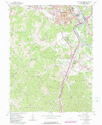
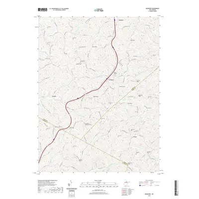
1994 Valley Mills
Wood County, WV
2010 Petroleum
Wood County, WV
2010 Rockport
Wood County, WV
2010 South Parkersburg
Wood County, WV
2010 Valley Mills
Wood County, WV
2014 Petroleum
Wood County, WV
2014 Rockport
Wood County, WV
2014 South Parkersburg
Wood County, WV
2014 Valley Mills
Wood County, WV
2016 Petroleum
Wood County, WV
2016 Rockport
Wood County, WV
2016 South Parkersburg
Wood County, WV
2016 Valley Mills
Wood County, WV
2019 Petroleum
Wood County, WV
2019 Rockport
Wood County, WV
2019 South Parkersburg
Wood County, WV
2019 Valley Mills
Wood County, WV
2023 Petroleum
Wood County, WV
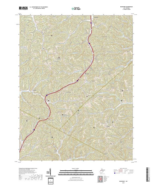
2023 Rockport
Wood County, WV
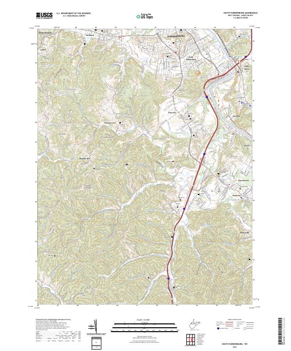
2023 South Parkersburg
Wood County, WV
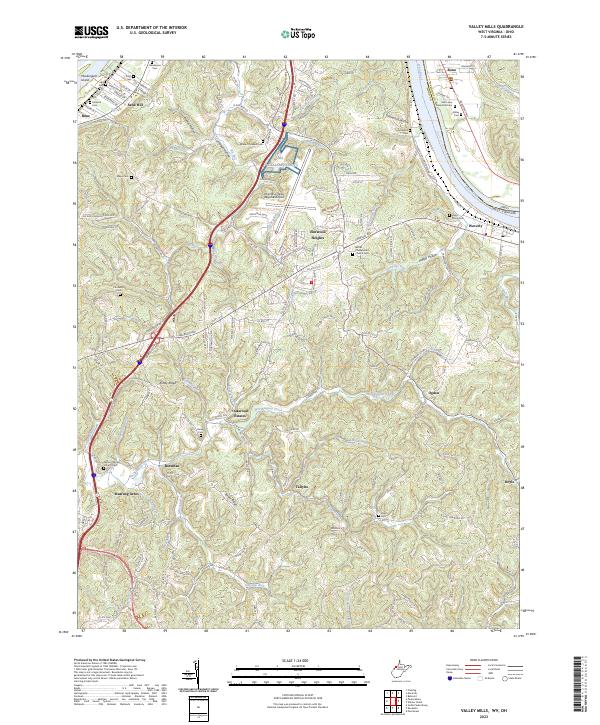
2023 Valley Mills
Wood County, WV