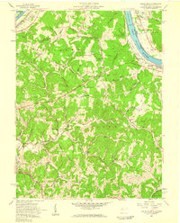
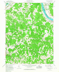
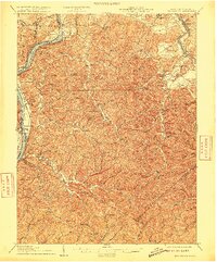
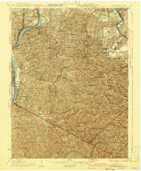
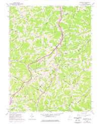
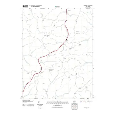
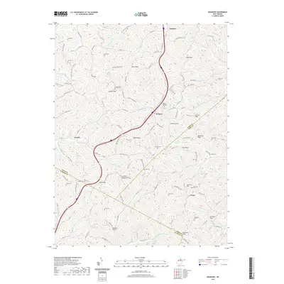
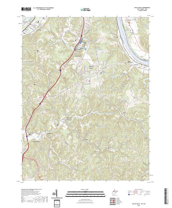
1957 Map of Valley Mills
USGS Topo · Published 1959About this map
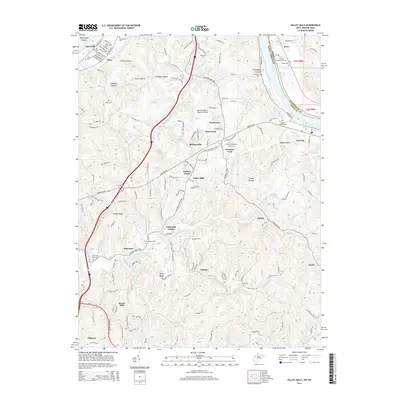
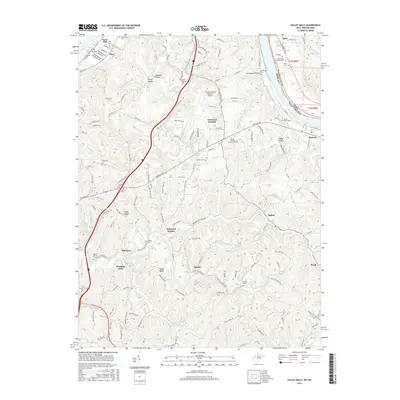
The Ohio River corridor north of Parkersburg is defined by its industrial and maritime infrastructure, anchored by Lock No 17 and the Baltimore and Ohio railroad line. This late 1950s survey documents a landscape in transition, where new highway development marked as Under Construction begins to weave through the older rural fabric of Williams and Union districts. The map preserves the locations of numerous community hubs, including the Oak Grove Sch and the Old Boreman Sch, alongside rural congregations at Bethel Ch and Mt Pleasant Ch.
Find a feature on this map
73 named features on this map. Tap any name to fly to it.
Don’t see what you’re looking for? This feature index may not catch every label — zoom into the map to look around manually.
Map Details
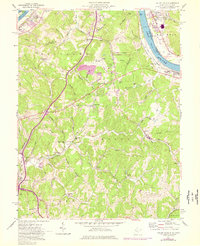
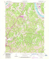
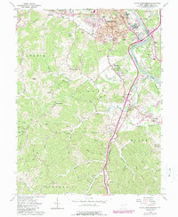
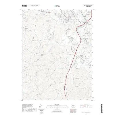
Editions of this 1957 Valley Mills Map
5 editions found
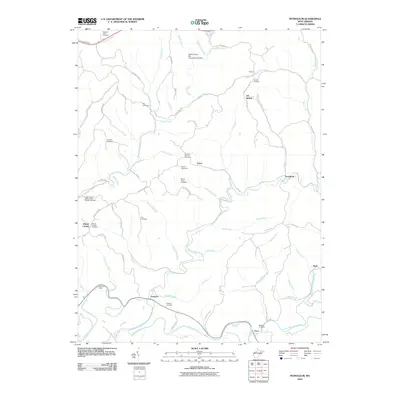
Historical Maps of Ponderosa Through Time
28 maps found
1906 Belleville
Wood County, WV

1924 Belleville
Wood County, WV
1926 Belleville
Wood County, WV
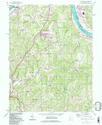
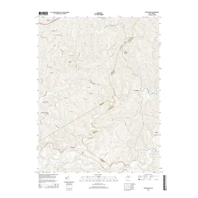
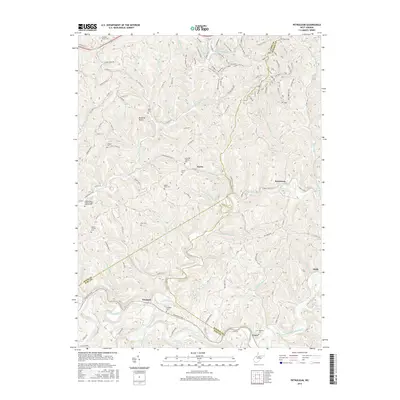
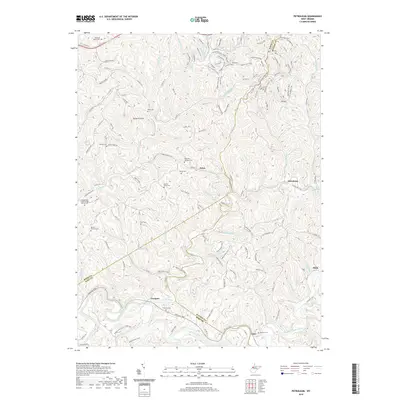
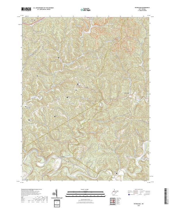
1957 Petroleum
Wood County, WV
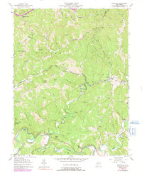
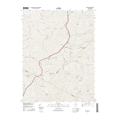
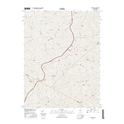
1957 Valley Mills
Wood County, WV
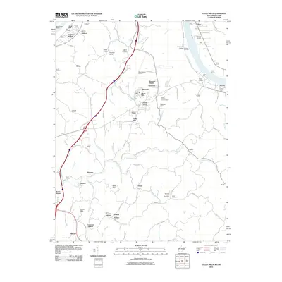
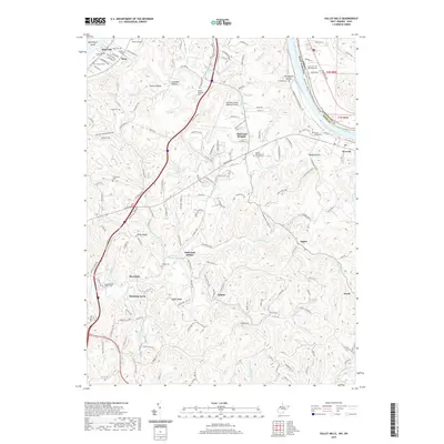
1960 Rockport
Wood County, WV
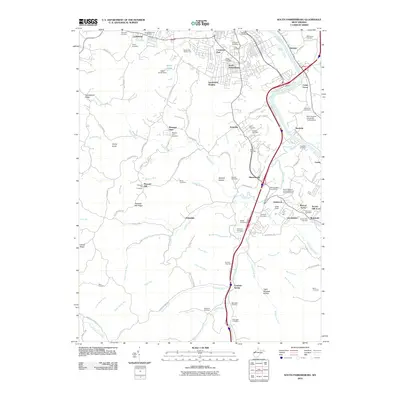
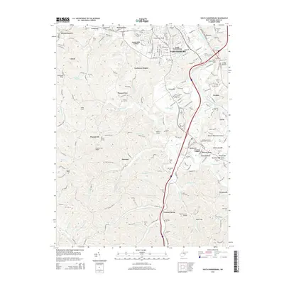
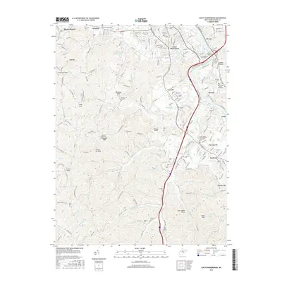
1961 South Parkersburg
Wood County, WV
1994 Valley Mills
Wood County, WV
2010 Petroleum
Wood County, WV
2010 Rockport
Wood County, WV
2010 South Parkersburg
Wood County, WV
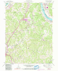
2010 Valley Mills
Wood County, WV
2014 Petroleum
Wood County, WV
2014 Rockport
Wood County, WV
2014 South Parkersburg
Wood County, WV
2014 Valley Mills
Wood County, WV
2016 Petroleum
Wood County, WV
2016 Rockport
Wood County, WV
2016 South Parkersburg
Wood County, WV
2016 Valley Mills
Wood County, WV
2019 Petroleum
Wood County, WV
2019 Rockport
Wood County, WV
2019 South Parkersburg
Wood County, WV
2019 Valley Mills
Wood County, WV
2023 Petroleum
Wood County, WV
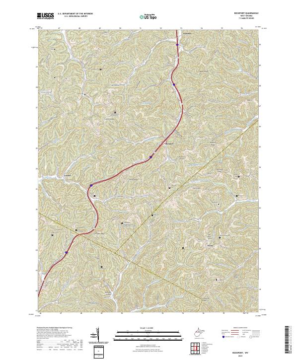
2023 Rockport
Wood County, WV
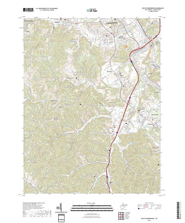
2023 South Parkersburg
Wood County, WV
2023 Valley Mills
Wood County, WV