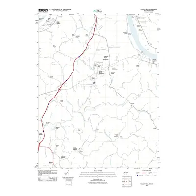
2010 Map of Valley Mills
USGS Topo · Published 2010About this map
Muskingum Island and the broad Ohio River corridor define the western edge of this 2010 survey, where river landings like Reno Landing and Old Posey Landing hint at a long history of waterborne commerce. Moving inland from the riverbanks at Waverly, the terrain transitions into a series of ridges and hollows, such as Graveyard Hollow and Pohick Hollow, that dictate the placement of several residential developments. These suburban additions, including Ponderosa, Mustang Acres, and Valley Manor Addition, are interspersed with numerous small family and church burial grounds like the Sharp-Prince Cemetery and Bethel Presbyterian Church Cemetery.
Find a feature on this map
116 named features on this map. Tap any name to fly to it.
Don’t see what you’re looking for? This feature index may not catch every label — zoom into the map to look around manually.
Map Details
Editions of this 2010 Valley Mills Map
This is the sole edition of this map. No revisions or reprints were ever made.
Other maps of this area

1902 · Parkersburg
USGS Topo · 1:62,500

1904 · Parkersburg
USGS Topo · 1:62,500

1904 · Marietta
USGS Topo · 1:62,500

1906 · Elizabeth
USGS Topo · 1:62,500

1906 · Belleville
USGS Topo · 1:62,500

1924 · Belleville
USGS Topo · 1:62,500

1924 · Marietta
USGS Topo · 1:62,500

1924 · Elizabeth
USGS Topo · 1:62,500

1926 · Elizabeth
USGS Topo · 1:62,500

1926 · Belleville
USGS Topo · 1:62,500