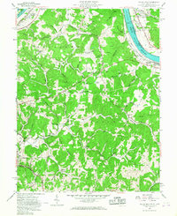
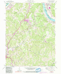
1957 Map of Valley Mills
USGS Topo · Published 1967About this map
The Ohio River corridor north of Parkersburg comes into focus in this late-1950s study, revealing a landscape defined by the winding Baltimore and Ohio railroad and a network of interior runs. The riverbank is home to infrastructure like Lock No 17 and the small settlements of Boaz and Waverly. Further inland, the terrain is characterized by the dissected ridges of Union and Williams districts, where local life centered around rural institutions such as the Oak Grove Sch and Mt Pleasant Ch.
Find a feature on this map
71 named features on this map. Tap any name to fly to it.
Don’t see what you’re looking for? This feature index may not catch every label — zoom into the map to look around manually.
Map Details
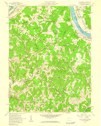
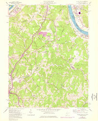
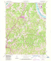
Editions of this 1957 Valley Mills Map
5 editions found
Other maps of this area

1902 · Parkersburg
USGS Topo · 1:62,500

1904 · Parkersburg
USGS Topo · 1:62,500

1904 · Marietta
USGS Topo · 1:62,500

1906 · Elizabeth
USGS Topo · 1:62,500

1906 · Belleville
USGS Topo · 1:62,500

1924 · Belleville
USGS Topo · 1:62,500

1924 · Marietta
USGS Topo · 1:62,500

1924 · Elizabeth
USGS Topo · 1:62,500

1926 · Elizabeth
USGS Topo · 1:62,500

1926 · Belleville
USGS Topo · 1:62,500