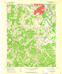
1961 Map of South Parkersburg
USGS Topo · Published 1963About this map
The Little Kanawha River winds through this 1961 landscape, defining the industrial and residential expansion south of the city. The Baltimore and Ohio railroad corridor anchors the river's eastern bank near Nicolette, while the urban grid of South Parkersburg shows significant mid-century development, including institutional landmarks like the Armory and Edison Jr High Sch.
Find a feature on this map
96 named features on this map. Tap any name to fly to it.
Don’t see what you’re looking for? This feature index may not catch every label — zoom into the map to look around manually.
Map Details
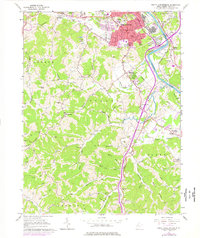
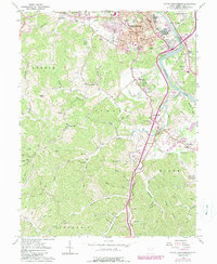
Editions of this 1961 South Parkersburg Map
3 editions found
Other maps of this area

1902 · Parkersburg
USGS Topo · 1:62,500

1904 · Parkersburg
USGS Topo · 1:62,500

1904 · Marietta
USGS Topo · 1:62,500

1906 · Elizabeth
USGS Topo · 1:62,500

1906 · Belleville
USGS Topo · 1:62,500

1924 · Belleville
USGS Topo · 1:62,500

1924 · Marietta
USGS Topo · 1:62,500

1924 · Elizabeth
USGS Topo · 1:62,500

1926 · Elizabeth
USGS Topo · 1:62,500

1926 · Belleville
USGS Topo · 1:62,500