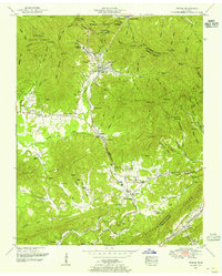
1952 Map of Petros
USGS Topo · Published 1955About this map
Brushy Mountain State Prison sits at the head of a narrow valley just north of Petros, surrounded by the formidable terrain of Morgan State Forest. This 1952 field revision reveals a landscape defined by coal and topography, where the Southern Railway serves the industrial hamlets of Coalfield and Coalfield Camp No 1. The map documents a dense network of family history through numerous landmarks such as the Stephens Cemetery and Brasel Cemetery, alongside local institutions like Joyner School and Cumberland Church. To the south, the terrain descends toward Walden Ridge and the Emery River, while the heights of Frozen Head Mountain and Big Fodderstack dominate the northern skyline. The proximity of the prison to these steep mountain ridges underscores the natural containment provided by the Cumberland Mountains.
Find a feature on this map
81 named features on this map. Tap any name to fly to it.
Don’t see what you’re looking for? This feature index may not catch every label — zoom into the map to look around manually.
Map Details
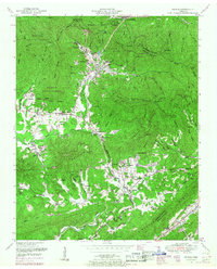
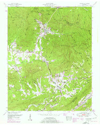
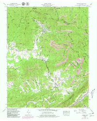
Editions of this 1952 Petros Map
4 editions found
Other maps of this area

1887 · Kingston
USGS Topo · 1:125,000

1891 · Kingston
USGS Topo · 1:125,000

1893 · Briceville
USGS Topo · 1:125,000

1893 · Kingston
USGS Topo · 1:125,000

1895 · Wartburg
USGS Topo · 1:125,000

1895 · Loudon
USGS Topo · 1:125,000

1895 · Briceville
USGS Topo · 1:125,000

1896 · Wartburg
USGS Topo · 1:125,000

1896 · Briceville
USGS Topo · 1:125,000

1935 · Gobey
USGS Topo · 1:24,000