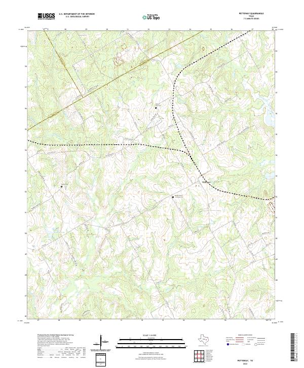
2022 Map of Petteway
USGS Topo · Published 2022About this map
The community of Petteway sits at the junction of several county roads in a landscape defined by the complex drainage of the Brazos River basin. The map reveals a high concentration of small, family-named watercourses such as Big Sandy Cr and Walnut Cr, which divide the terrain into distinct prairies and ridges. This 2022 survey preserves the locations of several historic burial grounds, including the Heards Prairie - Petteway Cem, White Rock Cem, and Walnut Cem, reflecting the deep-rooted agricultural settlement patterns of the region.
Find a feature on this map
68 named features on this map. Tap any name to fly to it.
Don’t see what you’re looking for? This feature index may not catch every label — zoom into the map to look around manually.
Map Details
Editions of this 2022 Petteway Map
This is the sole edition of this map. No revisions or reprints were ever made.
Other maps of this area

1927 · Marquez
USGS Topo · 1:62,500

1930 · Marquez
USGS Topo · 1:62,500

1954 · Waco
USGS Topo · 1:250,000

1955 · Waco
USGS Topo · 1:250,000

1962 · Hammond
USGS Topo · 1:24,000

1962 · Bremond
USGS Topo · 1:24,000

1962 · Petteway
USGS Topo · 1:24,000
1962 · Owensville
USGS Topo · 1:24,000
1965 · Franklin
USGS Topo · 1:24,000
1965 · Bald Prairie
USGS Topo · 1:24,000