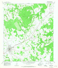
1965 Map of Franklin
USGS Topo · Published 1968About this map
Franklin serves as the focal point of this mid-1960s study, situated along the Missouri Pacific railroad corridor in Robertson County. The landscape is defined by the branching tributaries of North Mineral Creek and South Mineral Creek, which carve through the undulating terrain north of the town center. The settlement patterns reflect a rural economy tied to the rail line, with smaller communities like New Baden and Easterly established as key points of transit and local assembly.
Find a feature on this map
24 named features on this map. Tap any name to fly to it.
Don’t see what you’re looking for? This feature index may not catch every label — zoom into the map to look around manually.
Map Details
Editions of this 1965 Franklin Map
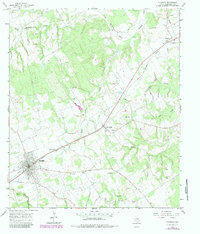
2 editions found
Other maps of this area

1925 · Marquez No. 1
USGS Topo · 1:48,000

1925 · Marquez No. 4
USGS Topo · 1:48,000

1927 · Marquez
USGS Topo · 1:62,500

1930 · Marquez
USGS Topo · 1:62,500

1954 · Waco
USGS Topo · 1:250,000

1954 · Austin
USGS Topo · 1:250,000

1955 · Waco
USGS Topo · 1:250,000

1961 · Hearne North
USGS Topo · 1:24,000

1962 · Edge
USGS Topo · 1:24,000

1962 · Wheelock
USGS Topo · 1:24,000