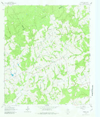
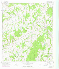
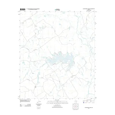
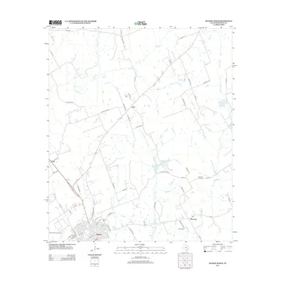
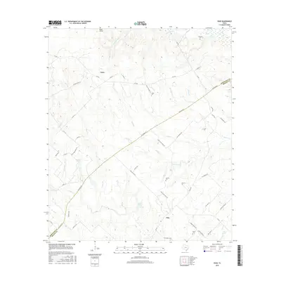
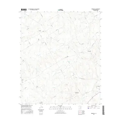
1962 Map of Petteway
USGS Topo · Published 1982About this map
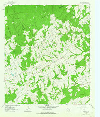
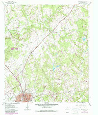
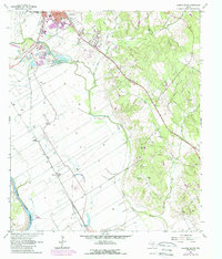
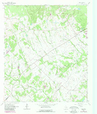
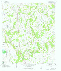
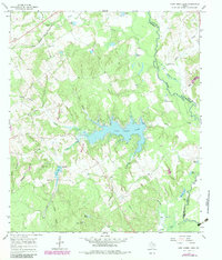
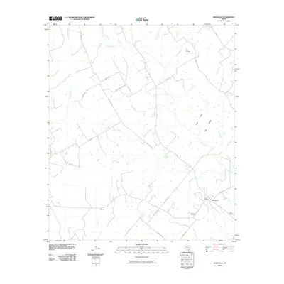
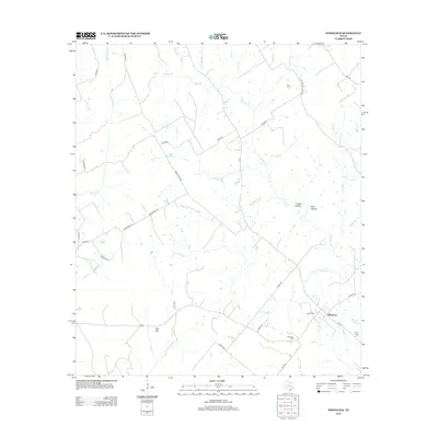
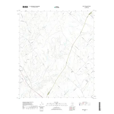
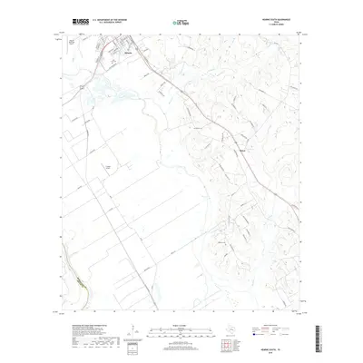
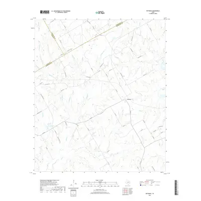
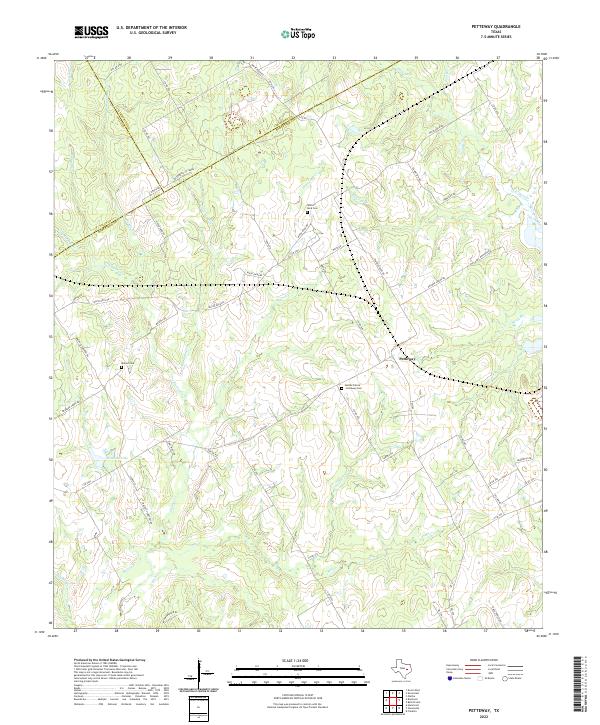
Petteway and White Rock serve as the primary hubs in this rural landscape spanning the Limestone and Robertson County line. The settlement pattern is defined by a dense network of waterways, including Big Sandy Creek and Hurricane Creek, which carve through the terrain. Local social life is anchored by community landmarks such as Petteway Church and Walnut Church, alongside the Post Oak School. The presence of a Gravel Pit and several gas wells indicates the modest industrial activity of the early 1960s, while numerous fence lines and small reservoirs like Abraham Lake illustrate the area's agricultural character. This topography reflects a moment before significant modern development, where small timbered tracts and creeks like Mill Creek dictated the placement of homesteads and local roads.
Find a feature on this map
26 named features on this map. Tap any name to fly to it.
Don’t see what you’re looking for? This feature index may not catch every label — zoom into the map to look around manually.
Map Details
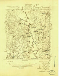
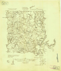
Editions of this 1962 Petteway Map
2 editions found
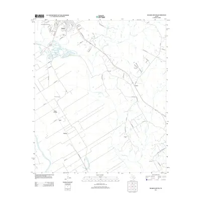
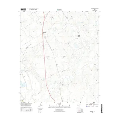
Historical Maps of White Rock Through Time
62 maps found
1925 Marquez No. 1
Robertson County, TX
1925 Marquez No. 4
Robertson County, TX
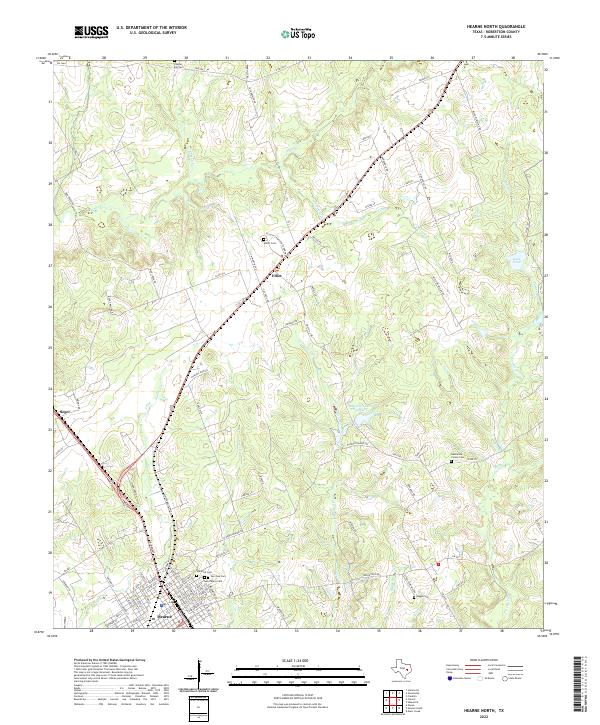
1961 Hearne North
Robertson County, TX
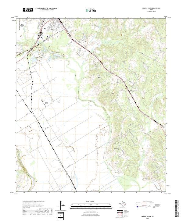
1961 Hearne South
Robertson County, TX
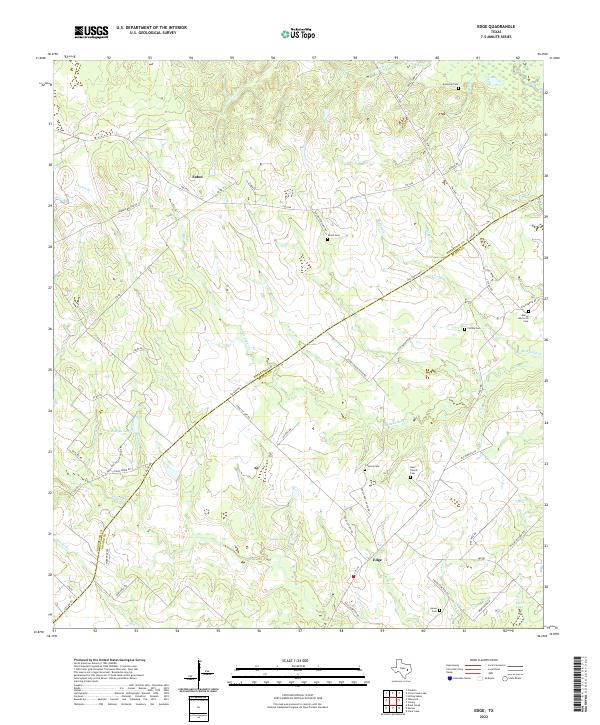
1962 Edge
Robertson County, TX
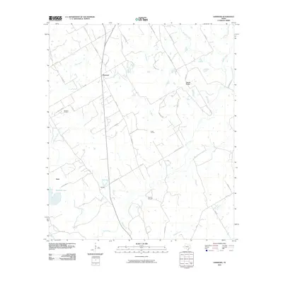
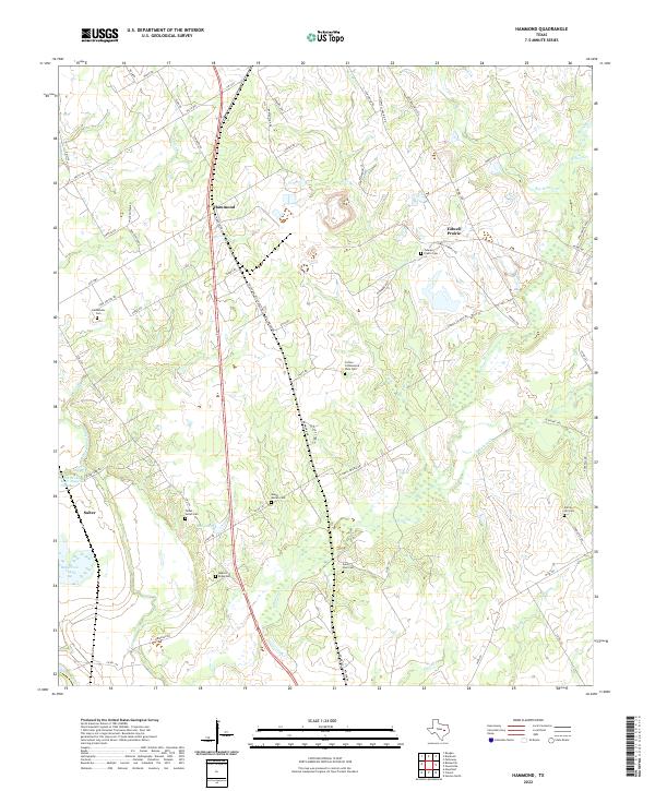
1962 Hammond
Robertson County, TX
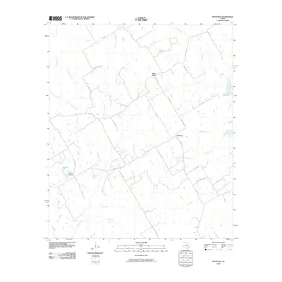
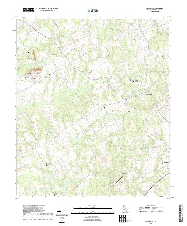
1962 Owensville
Robertson County, TX
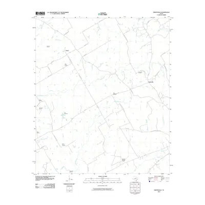
1962 Petteway
Robertson County, TX
1962 Wheelock
Robertson County, TX
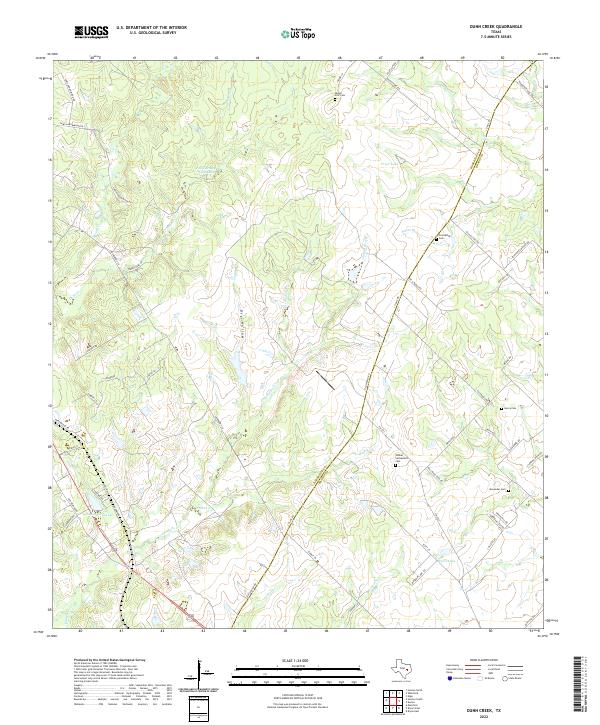
1963 Dunn Creek
Robertson County, TX
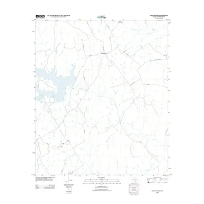
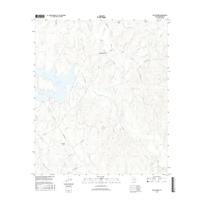
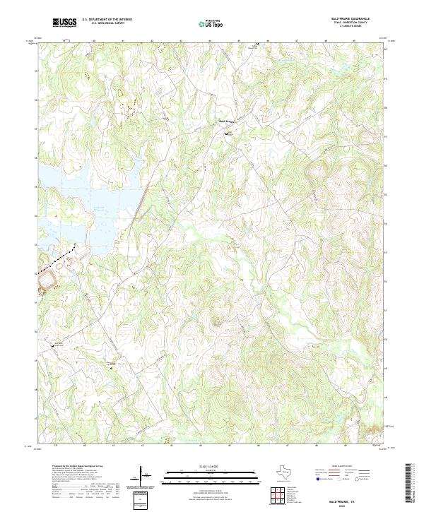
1965 Bald Prairie
Robertson County, TX
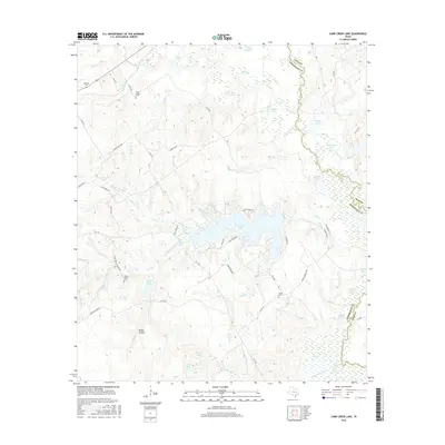
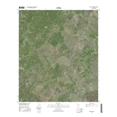
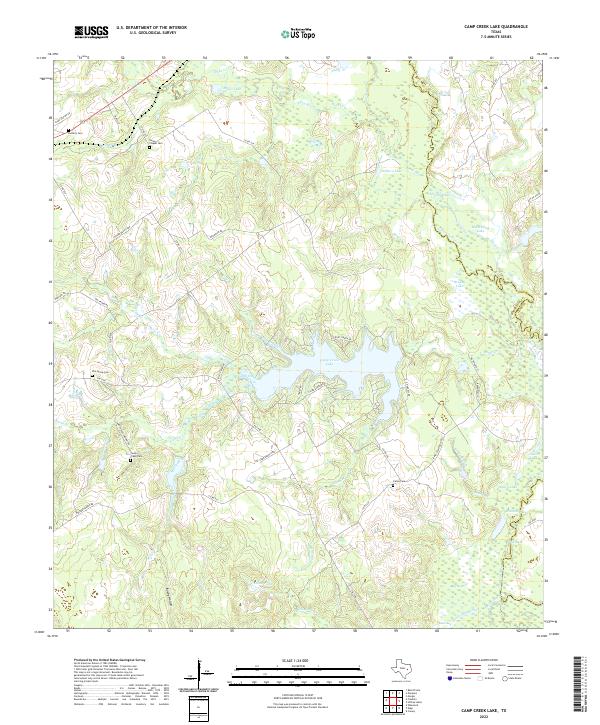
1965 Camp Creek Lake
Robertson County, TX
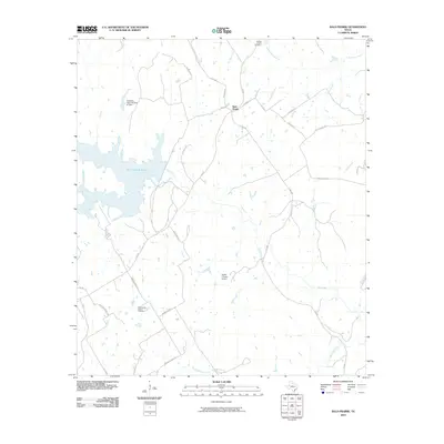
2010 Bald Prairie
Robertson County, TX
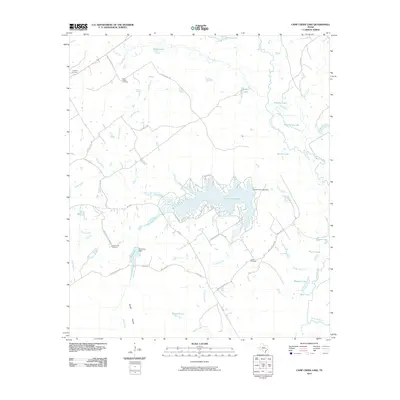
2010 Camp Creek Lake
Robertson County, TX
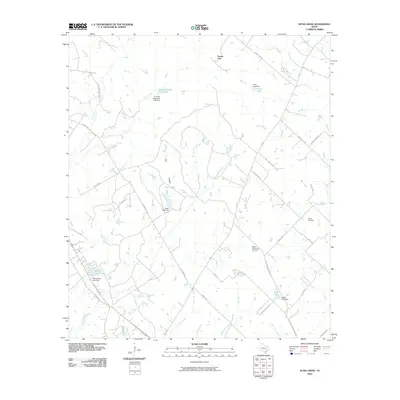
2010 Dunn Creek
Robertson County, TX
2010 Edge
Robertson County, TX
2010 Hammond
Robertson County, TX
2010 Hearne North
Robertson County, TX
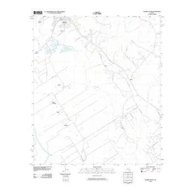
2010 Hearne South
Robertson County, TX
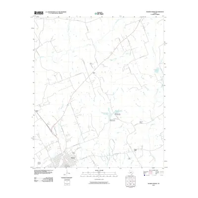
2010 Owensville
Robertson County, TX
2010 Petteway
Robertson County, TX
2010 Wheelock
Robertson County, TX
2013 Bald Prairie
Robertson County, TX
2013 Camp Creek Lake
Robertson County, TX
2013 Dunn Creek
Robertson County, TX
2013 Edge
Robertson County, TX
2013 Hammond
Robertson County, TX
2013 Hearne North
Robertson County, TX
2013 Hearne South
Robertson County, TX
2013 Owensville
Robertson County, TX
2013 Petteway
Robertson County, TX
2013 Wheelock
Robertson County, TX
2016 Bald Prairie
Robertson County, TX
2016 Camp Creek Lake
Robertson County, TX
2016 Dunn Creek
Robertson County, TX
2016 Edge
Robertson County, TX
2016 Hammond
Robertson County, TX
2016 Hearne North
Robertson County, TX
2016 Hearne South
Robertson County, TX
2016 Owensville
Robertson County, TX
2016 Petteway
Robertson County, TX

2016 Wheelock
Robertson County, TX
2019 Bald Prairie
Robertson County, TX
2019 Camp Creek Lake
Robertson County, TX
2019 Dunn Creek
Robertson County, TX
2019 Edge
Robertson County, TX
2019 Hammond
Robertson County, TX
2019 Hearne North
Robertson County, TX
2019 Hearne South
Robertson County, TX
2019 Owensville
Robertson County, TX
2019 Petteway
Robertson County, TX
2019 Wheelock
Robertson County, TX
2022 Bald Prairie
Robertson County, TX
2022 Camp Creek Lake
Robertson County, TX
2022 Dunn Creek
Robertson County, TX
2022 Edge
Robertson County, TX
2022 Hammond
Robertson County, TX
2022 Hearne North
Robertson County, TX
2022 Hearne South
Robertson County, TX
2022 Owensville
Robertson County, TX
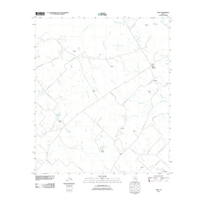
2022 Petteway
Robertson County, TX
2022 Wheelock
Robertson County, TX