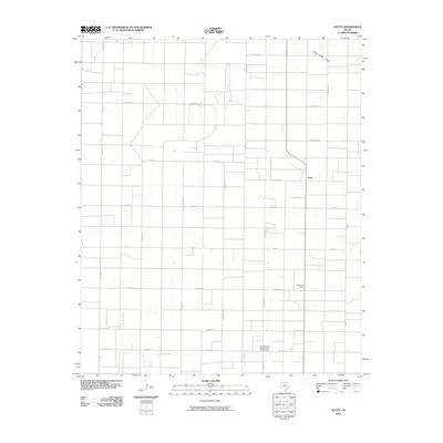
2010 Map of Pettit
USGS Topo · Published 2010About this map
Pettit and its surrounding agricultural landscape are defined by a rigid grid of rural roads and the industrial footprint of energy extraction in Hockley County. In the early 21st century, this section of the South Plains illustrates the intersection of farming and the petroleum industry, dominated by the Levelland and Slaughter Oil and Gas Field in the southern portion of the quadrangle. The topography is largely uniform, with the notable exception of Yellow House Draw cutting across the northeastern corner. Named road networks such as England Rd, Kenya Rd, and Mexico Rd provide a structured framework for the scattered homesteads and agricultural operations like Whiteface Farms. The landscape is a clear example of the High Plains' organized settlement pattern, where every section is accessible by thoroughfares such as Fm 1780.
Find a feature on this map
25 named features on this map. Tap any name to fly to it.
Don’t see what you’re looking for? This feature index may not catch every label — zoom into the map to look around manually.
Map Details
Editions of this 2010 Pettit Map
This is the sole edition of this map. No revisions or reprints were ever made.
Other maps of this area

1954 · Brownfield
USGS Topo · 1:250,000

1958 · Brownfield
USGS Topo · 1:250,000

1962 · Brownfield
USGS Topo · 1:250,000

1964 · Oklahoma Flat
USGS Topo · 1:24,000

1964 · Pep
USGS Topo · 1:24,000

1965 · Levelland West
USGS Topo · 1:24,000

1965 · Hester Ranch
USGS Topo · 1:24,000

1965 · Pettit
USGS Topo · 1:24,000

1965 · Whiteface
USGS Topo · 1:24,000

1970 · Whiteface SW
USGS Topo · 1:24,000